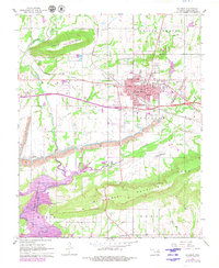
1967 Map of Sallisaw
USGS Topo · Published 1979About this map
The Courthouse and several educational institutions like Liberty Sch and Eastside Sch define the civic core of Sallisaw, a regional hub where the Missouri Pacific and Kansas City Southern railroads converge. The landscape to the south is dramatically altered by the Robert S. Kerr Reservoir, which has transformed the confluence of Sallisaw Creek and its tributaries.
Find a feature on this map
42 named features on this map. Tap any name to fly to it.
Don’t see what you’re looking for? This feature index may not catch every label — zoom into the map to look around manually.
Map Details
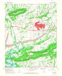
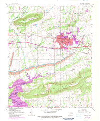
Editions of this 1967 Sallisaw Map
3 editions found
Other maps of this area

1898 · Tahlequah
USGS Topo · 1:125,000

1900 · Sallisaw
USGS Topo · 1:125,000

1901 · Tahlequah
USGS Topo · 1:125,000

1905 · Tahlequah
USGS Topo · 1:125,000

1911 · Sallisaw
USGS Topo · 1:125,000

1946 · Fort Smith
USGS Topo · 1:250,000

1965 · Fort Smith
USGS Topo · 1:250,000

1966 · Gans
USGS Topo · 1:24,000

1966 · Muldrow SW
USGS Topo · 1:24,000

1967 · Fort Smith
USGS Topo · 1:250,000