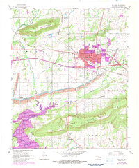
1967 Map of Sallisaw
USGS Topo · Published 1983About this map
The town of Sallisaw serves as a focal point of commerce and transit in this late 20th-century survey, positioned where the Missouri Pacific and Kansas City Southern railroads intersect. The landscape is defined by the massive Robert S Kerr Reservoir to the southwest, which has reshaped the traditional path of Sallisaw Creek. Industrial activity is evident south of the city center, where strip mines and a large Gravel Pit appear alongside the local watercourses.
Find a feature on this map
48 named features on this map. Tap any name to fly to it.
Don’t see what you’re looking for? This feature index may not catch every label — zoom into the map to look around manually.
Map Details
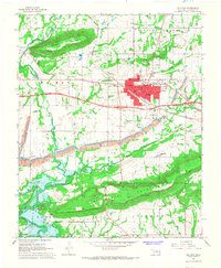
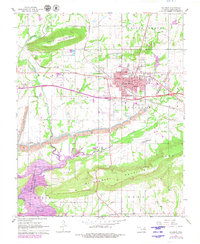
Editions of this 1967 Sallisaw Map
3 editions found
Other maps of this area

1898 · Tahlequah
USGS Topo · 1:125,000

1900 · Sallisaw
USGS Topo · 1:125,000

1901 · Tahlequah
USGS Topo · 1:125,000

1905 · Tahlequah
USGS Topo · 1:125,000

1911 · Sallisaw
USGS Topo · 1:125,000

1946 · Fort Smith
USGS Topo · 1:250,000

1965 · Fort Smith
USGS Topo · 1:250,000

1966 · Gans
USGS Topo · 1:24,000

1966 · Muldrow SW
USGS Topo · 1:24,000

1967 · Fort Smith
USGS Topo · 1:250,000