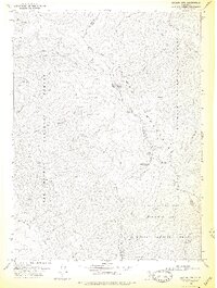
1978 Map of Salmon Mtn.
USGS Topo · Published 1978About this map
The Salmon Mountains define this high-altitude landscape at the intersection of Humboldt, Siskiyou, and Trinity counties. This 1978 edition illustrates a wilderness dominated by the Salmon Trinity Alps Primitive Area and the meeting points of the Klamath National Forest, Six Rivers National Forest, and Trinity National Forest. The map is a study of remote drainage systems, following the North Fork Red Cap Creek and Middle Fork Red Cap Creek as they carve through steep terrain. While humans are mostly absent, the landscape is connected by an intricate network of pack trails and primitive routes, linking high points like Whiteys Peak and Indian Rocks to seasonal locations such as Mullens Camp. Geologists and backcountry historians will find interest in the lone Prospect located near Nordheimer Lake, representing the limited mineral exploration in this protected region.
Find a feature on this map
42 named features on this map. Tap any name to fly to it.
Don’t see what you’re looking for? This feature index may not catch every label — zoom into the map to look around manually.
Map Details
Editions of this 1978 Salmon Mtn. Map
2 editions found
Other maps of this area

1925 · Hoopa
USGS Topo · 1:125,000

1948 · Weed
USGS Topo · 1:250,000

1950 · Weed
USGS Topo · 1:250,000

1952 · Hoopa
USGS Topo · 1:62,500

1952 · Orleans
USGS Topo · 1:62,500

1955 · Salmon Mtn
USGS Topo · 1:62,500

1955 · Forks of Salmon
USGS Topo · 1:62,500

1958 · Weed
USGS Topo · 1:250,000

1963 · Weed
USGS Topo · 1:250,000

1974 · Orleans Mtn.
USGS Topo · 1:24,000