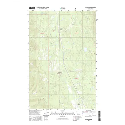
2017 Map of Salmon Prairie
USGS Topo · Published 2017About this map
Swan River meanders through the heart of the northern Montana landscape depicted here, anchoring a network of glacial valleys and timbered slopes within the Flathead National Forest. This 2017 survey details the riparian environment where the river is fed by numerous drainages including Squeezer Cr, Lion Cr, and Piper Cr. The settlement of Salmon Prairie serves as the primary focal point for human activity, surrounded by several significant natural clearings such as Simmons Meadow, Squeezer Meadow, and Woodward Meadows.
Find a feature on this map
22 named features on this map. Tap any name to fly to it.
Don’t see what you’re looking for? This feature index may not catch every label — zoom into the map to look around manually.
Map Details
Editions of this 2017 Salmon Prairie Map
This is the sole edition of this map. No revisions or reprints were ever made.
Other maps of this area

1955 · Choteau
USGS Topo · 1:250,000

1957 · Choteau
USGS Topo · 1:250,000

1958 · Choteau
USGS Topo · 1:250,000

1962 · Choteau
USGS Topo · 1:250,000

1965 · Peck Lake
USGS Topo · 1:24,000

1965 · Condon
USGS Topo · 1:24,000
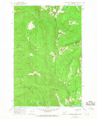
1965 · Thunderbolt Mountain
USGS Topo · 1:24,000

1965 · Swan Peak
USGS Topo · 1:24,000
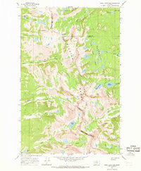
1965 · Piper-Crow Pass
USGS Topo · 1:24,000
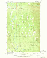
1965 · Cilly Creek
USGS Topo · 1:24,000