
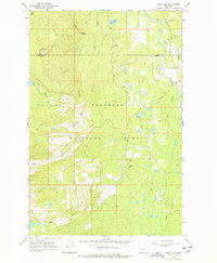
1965 Map of Peck Lake
USGS Topo · Published 1968About this map
The Flathead National Forest dominates this mid-1960s landscape, where the Swan River flows through the eastern valley alongside the boundary of Lake Co and Missoula Co. The map reveals a mountain environment defined by its water systems and early forest management infrastructure. High-altitude drainage basins feed the North Fork Cold Creek, South Fork Cold Creek, and the South Fork Elk Creek, illustrating the intricate hydrology of the region.
Find a feature on this map
18 named features on this map. Tap any name to fly to it.
Don’t see what you’re looking for? This feature index may not catch every label — zoom into the map to look around manually.
Map Details
Editions of this 1965 Peck Lake Map
2 editions found
Other maps of this area

1921 · Elbow Lake
USGS Topo · 1:125,000

1955 · Choteau
USGS Topo · 1:250,000

1957 · Choteau
USGS Topo · 1:250,000

1958 · Choteau
USGS Topo · 1:250,000

1962 · Choteau
USGS Topo · 1:250,000

1965 · Condon
USGS Topo · 1:24,000

1965 · Swan Peak
USGS Topo · 1:24,000
1965 · Piper-Crow Pass
USGS Topo · 1:24,000
1965 · Cygnet Lake
USGS Topo · 1:24,000
1965 · Hemlock Lake
USGS Topo · 1:24,000