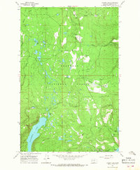
1965 Map of Cygnet Lake
USGS Topo · Published 1968About this map
Lindbergh Lake and the winding Swan River dominate this mid-1960s survey of the Missoula County high country. The landscape is characterized by a dense network of glacial lakes and mountain drainage systems, including Cygnet Lake, Loon Lake, and the remote Stoner Lake. While much of the terrain is defined by the protected boundaries of the Flathead National Forest and Lolo National Forest, the map records essential markers of human presence in the wilderness. The Swan Valley Sch stands near the northern edge, serving the dispersed mountain community, while the Elbow Lookout Tower provides a critical vantage point for forest management. Numerous unnamed pack trails and standard trails spiderweb through the topography, tracing routes between waterways like Holland Creek and Barber Creek, offering a detailed look at the backcountry infrastructure used by foresters and early outdoor enthusiasts during this era.
Find a feature on this map
26 named features on this map. Tap any name to fly to it.
Don’t see what you’re looking for? This feature index may not catch every label — zoom into the map to look around manually.
Map Details
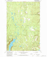
Editions of this 1965 Cygnet Lake Map
2 editions found
Other maps of this area

1921 · Elbow Lake
USGS Topo · 1:125,000

1955 · Choteau
USGS Topo · 1:250,000

1957 · Choteau
USGS Topo · 1:250,000

1958 · Choteau
USGS Topo · 1:250,000

1962 · Choteau
USGS Topo · 1:250,000

1965 · Peck Lake
USGS Topo · 1:24,000

1965 · Condon
USGS Topo · 1:24,000

1965 · Holland Lake
USGS Topo · 1:24,000

1965 · Gray Wolf Lake
USGS Topo · 1:24,000

1965 · Lake Marshall
USGS Topo · 1:24,000