
1965 Map of Gray Wolf Lake
USGS Topo · Published 1968About this map
The Flathead Indian Reservation Boundary cuts across the southern portion of this 1965 survey, marking a distinct line between tribal lands and the surrounding Flathead National Forest. This high-altitude landscape is defined by its glacial hydrology, featuring the Gray Wolf Glacier and a complex network of alpine lakes like Turquoise Lake, Crystal Lake, and the uniquely named The Angels Bathing Pool. The terrain is punctuated by significant summits including Gray Wolf Peak and the evocatively named Daughter of the Sun Mountain. Travel through these peaks during the mid-1960s was limited to a rudimentary network of Pack Trails, emphasizing the area's isolation within the Mission Mountains. The proximity of Giant Spring to High Park Lake suggests a landscape of active snowmelt and high-volume runoff feeding the headwaters of the Swan River.
Find a feature on this map
56 named features on this map. Tap any name to fly to it.
Don’t see what you’re looking for? This feature index may not catch every label — zoom into the map to look around manually.
Map Details
Editions of this 1965 Gray Wolf Lake Map
This is the sole edition of this map. No revisions or reprints were ever made.
Other maps of this area

1921 · Elbow Lake
USGS Topo · 1:125,000

1955 · Choteau
USGS Topo · 1:250,000

1957 · Choteau
USGS Topo · 1:250,000

1958 · Choteau
USGS Topo · 1:250,000

1962 · Choteau
USGS Topo · 1:250,000

1965 · Upper Jocko Lake
USGS Topo · 1:24,000
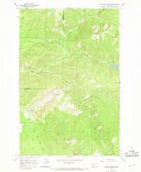
1965 · Belmore Sloughs
USGS Topo · 1:24,000

1965 · Lake Marshall
USGS Topo · 1:24,000
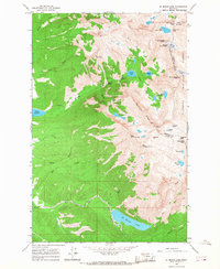
1965 · St Marys Lake
USGS Topo · 1:24,000
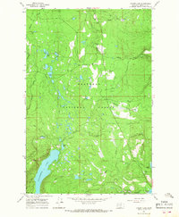
1965 · Cygnet Lake
USGS Topo · 1:24,000