
1965 Map of Upper Jocko Lake
USGS Topo · Published 1968About this map
The Flathead Indian Reservation Boundary cuts across this high-country landscape, marking the transition between tribal lands and the Lolo National Forest. This 1965 field-checked survey reveals a wilderness defined by its water system, where the Jocko River flows from Upper Jocko Lake and Lower Jocko Lake toward the northwest. The terrain is deeply inscribed with drainages like First Creek, Second Creek, and Deer Creek, which descend from high ridges such as Fawn Peak. Small, secluded water sources including Lake Elsina, Yellow Lake, and Blue Jay Spring are connected by a primitive Pack Trail system. In the southern portion of the sheet, Liberty Creek meanders through the open expanse of Liberty Meadows, providing a rare break in the timbered slopes that dominate this Missoula County interior.
Find a feature on this map
21 named features on this map. Tap any name to fly to it.
Don’t see what you’re looking for? This feature index may not catch every label — zoom into the map to look around manually.
Map Details
Editions of this 1965 Upper Jocko Lake Map
This is the sole edition of this map. No revisions or reprints were ever made.
Other maps of this area

1921 · Elbow Lake
USGS Topo · 1:125,000

1955 · Choteau
USGS Topo · 1:250,000

1957 · Choteau
USGS Topo · 1:250,000

1958 · Choteau
USGS Topo · 1:250,000

1962 · Choteau
USGS Topo · 1:250,000
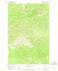
1965 · Belmore Sloughs
USGS Topo · 1:24,000
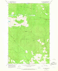
1965 · Gold Creek Peak
USGS Topo · 1:24,000

1965 · Seeley Lake West
USGS Topo · 1:24,000

1965 · Gray Wolf Lake
USGS Topo · 1:24,000

1965 · Lake Marshall
USGS Topo · 1:24,000