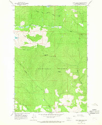
1965 Map of Gold Creek Peak
USGS Topo · Published 1968About this map
The Flathead Indian Reservation Boundary runs through the northern portion of this 1960s survey, marking a distinct line across the high-elevation terrain of the Lolo National Forest. The landscape is dominated by significant peaks and drainages, with Gold Creek Peak and Black Mountain serving as major landmarks in the southern Missoula County wilderness. Several water bodies including Hidden Lake and the winding course of Boles Creek define the hydrologic character of the area.
Find a feature on this map
18 named features on this map. Tap any name to fly to it.
Don’t see what you’re looking for? This feature index may not catch every label — zoom into the map to look around manually.
Map Details
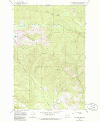
Editions of this 1965 Gold Creek Peak Map
2 editions found
Other maps of this area

1903 · Bonner
USGS Topo · 1:125,000

1921 · Elbow Lake
USGS Topo · 1:125,000

1947 · Butte
USGS Topo · 1:250,000

1955 · Choteau
USGS Topo · 1:250,000

1957 · Choteau
USGS Topo · 1:250,000

1958 · Butte
USGS Topo · 1:250,000

1958 · Choteau
USGS Topo · 1:250,000

1960 · Butte
USGS Topo · 1:250,000

1962 · Choteau
USGS Topo · 1:250,000

1962 · Butte
USGS Topo · 1:250,000