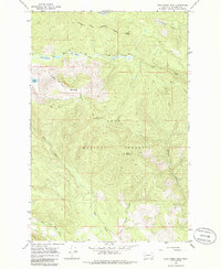
1965 Map of Gold Creek Peak
USGS Topo · Published 1986About this map
The Flathead Indian Reservation Boundary cuts diagonally across the high terrain of this Missoula County landscape, marking a clear division in the wilderness during the mid-1960s. Much of the surrounding area is protected within the Lolo National Forest, characterized by steep drainage systems and prominent summits such as Gold Creek Peak and Black Mountain. Water flows through deep-cut valleys along Boles Creek and the Gold Creek system, which includes the West Fork Gold Creek. High-altitude meadows, including Boles Meadow and Elk Meadow, provide distinct openings in the forest cover, while a solitary Jeep Trail provides the primary means of traversal through the western portion of the quadrangle. The lack of permanent structures or towns emphasizes the remote timber and watershed management priorities of the era, where topography was dominated by land-use boundaries and natural drainage features like Finley Creek and Belmont Creek.
Find a feature on this map
20 named features on this map. Tap any name to fly to it.
Don’t see what you’re looking for? This feature index may not catch every label — zoom into the map to look around manually.
Map Details
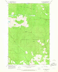
Editions of this 1965 Gold Creek Peak Map
2 editions found
Other maps of this area

1903 · Bonner
USGS Topo · 1:125,000

1921 · Elbow Lake
USGS Topo · 1:125,000

1947 · Butte
USGS Topo · 1:250,000

1955 · Choteau
USGS Topo · 1:250,000

1957 · Choteau
USGS Topo · 1:250,000

1958 · Butte
USGS Topo · 1:250,000

1958 · Choteau
USGS Topo · 1:250,000

1960 · Butte
USGS Topo · 1:250,000

1962 · Choteau
USGS Topo · 1:250,000

1962 · Butte
USGS Topo · 1:250,000