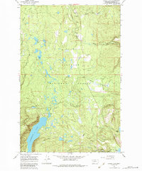
1965 Map of Cygnet Lake
USGS Topo · Published 1984About this map
Lindbergh Lake and the surrounding glacial valley define this remote section of the Montana wilderness as it was documented in the mid-1960s. The landscape is characterized by a dense network of water bodies, including Cygnet Lake, Loon Lake, and Stoner Lake, all linked by the meandering Swan River. Human presence is minimal, marked primarily by the Swan Valley Sch and several Gravel Pits along the valley floor. High above the water, the Elbow Lookout Tower stands as a sentinel over the Flathead National Forest. This survey captures the transition between the managed forest lands and the high-elevation terrain near the Lolo National Forest boundary, where a Pack Trail winds toward Bertha Lake and Summit Lake. It is a detailed view of the region's hydrological patterns before significant modern development, showing the original placement of small schools and forest service outposts.
Find a feature on this map
21 named features on this map. Tap any name to fly to it.
Don’t see what you’re looking for? This feature index may not catch every label — zoom into the map to look around manually.
Map Details
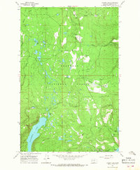
Editions of this 1965 Cygnet Lake Map
2 editions found
Other maps of this area

1921 · Elbow Lake
USGS Topo · 1:125,000

1955 · Choteau
USGS Topo · 1:250,000

1957 · Choteau
USGS Topo · 1:250,000

1958 · Choteau
USGS Topo · 1:250,000

1962 · Choteau
USGS Topo · 1:250,000

1965 · Peck Lake
USGS Topo · 1:24,000

1965 · Condon
USGS Topo · 1:24,000

1965 · Holland Lake
USGS Topo · 1:24,000

1965 · Gray Wolf Lake
USGS Topo · 1:24,000

1965 · Lake Marshall
USGS Topo · 1:24,000