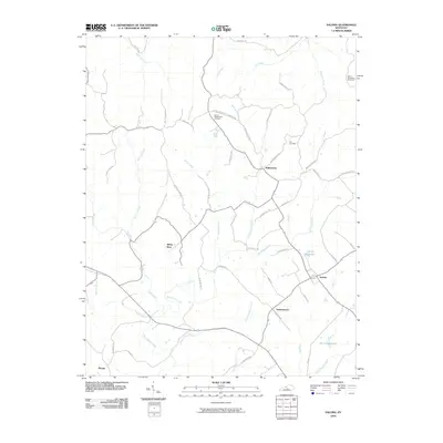
2010 Map of Saloma
USGS Topo · Published 2010About this map
The crossroads of Saloma and the rural community of Willowtown anchor this central Kentucky landscape, where the terrain is defined by the branching tributaries of Big Pitman Creek. At this time in 2010, the area's geography is heavily shaped by its water sources and ridges, including the prominent Spowles Ridge and small impoundments like Ferrill Reservoir and Porter Reservoir. These features reflect a traditional agrarian pattern, where small settlements like Durhamtown, White Rose, and Pitman are connected by a dense network of local routes such as Chaney Pike and Arvin Pike Rd.
Find a feature on this map
55 named features on this map. Tap any name to fly to it.
Don’t see what you’re looking for? This feature index may not catch every label — zoom into the map to look around manually.
Map Details
Editions of this 2010 Saloma Map
This is the sole edition of this map. No revisions or reprints were ever made.
Other maps of this area

1953 · Howardstown
USGS Topo · 1:24,000

1953 · Campbellsville
USGS Topo · 1:24,000

1953 · Saloma
USGS Topo · 1:24,000

1953 · Hibernia
USGS Topo · 1:24,000

1953 · Summersville
USGS Topo · 1:24,000

1953 · Raywick
USGS Topo · 1:24,000

1953 · Spurlington
USGS Topo · 1:24,000

1953 · Lebanon West
USGS Topo · 1:24,000

1954 · Greensburg
USGS Topo · 1:24,000

1957 · Winchester
USGS Topo · 1:250,000