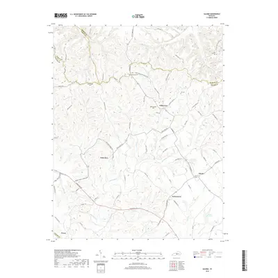
2019 Map of Saloma
USGS Topo · Published 2019About this map
Willowtown and the surrounding highlands of Taylor Co define this landscape, where the terrain transitions across the prominent rise of Muldraugh Hill. The area is characterized by a network of rural settlements, including White Rose, Saloma, and Durhamtown, which are connected by winding ridge roads and valley routes. Many of these thoroughfares, such as Saint Matthews Cemetery Rd and Mount Washington Cemetery Rd, lead to local burial grounds including Saint Matthews Cem and Mount Washington Cem, providing significant points of interest for genealogists tracing regional family lines.
Find a feature on this map
85 named features on this map. Tap any name to fly to it.
Don’t see what you’re looking for? This feature index may not catch every label — zoom into the map to look around manually.
Map Details
Editions of this 2019 Saloma Map
This is the sole edition of this map. No revisions or reprints were ever made.
Other maps of this area

1953 · Howardstown
USGS Topo · 1:24,000

1953 · Campbellsville
USGS Topo · 1:24,000

1953 · Saloma
USGS Topo · 1:24,000

1953 · Hibernia
USGS Topo · 1:24,000

1953 · Summersville
USGS Topo · 1:24,000

1953 · Raywick
USGS Topo · 1:24,000

1953 · Spurlington
USGS Topo · 1:24,000

1953 · Lebanon West
USGS Topo · 1:24,000

1954 · Greensburg
USGS Topo · 1:24,000

1957 · Winchester
USGS Topo · 1:250,000