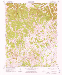
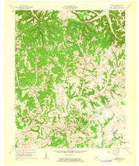
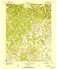
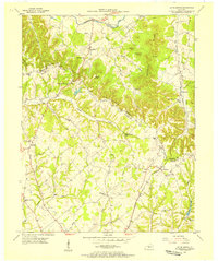
1961 Map of Saloma
USGS Topo · Published 1977About this map
Muldraugh Hill dominates the northern landscape of Taylor County, where the ridges are dotted with several country churches and family-named cemeteries. This 1961 revision shows a rural economy centered on the Oil Field near White Rose and a network of Pipelines cutting across the complex terrain. Settlements like Saloma and Willowtown serve as focal points for the surrounding agricultural and industrial activity.
Find a feature on this map
35 named features on this map. Tap any name to fly to it.
Don’t see what you’re looking for? This feature index may not catch every label — zoom into the map to look around manually.
Map Details
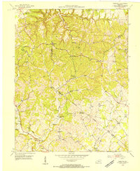
Editions of this 1961 Saloma Map
2 editions found
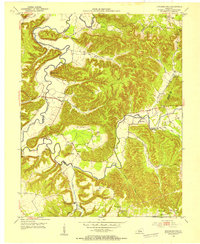
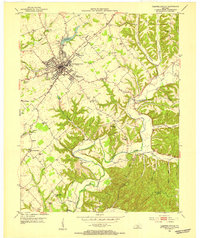
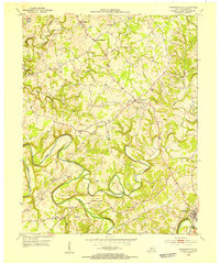
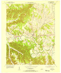
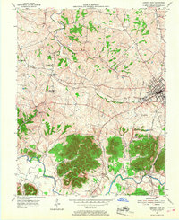
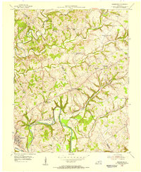
Other maps of this area
1953 · Howardstown
USGS Topo · 1:24,000
1953 · Campbellsville
USGS Topo · 1:24,000
1953 · Saloma
USGS Topo · 1:24,000
1953 · Hibernia
USGS Topo · 1:24,000
1953 · Summersville
USGS Topo · 1:24,000
1953 · Raywick
USGS Topo · 1:24,000
1953 · Spurlington
USGS Topo · 1:24,000
1953 · Lebanon West
USGS Topo · 1:24,000
1954 · Greensburg
USGS Topo · 1:24,000

1957 · Winchester
USGS Topo · 1:250,000