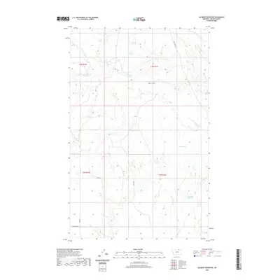
2020 Map of Salsbery Reservoir
USGS Topo · Published 2020About this map
Salsbery Reservoir and several other named catchments characterize this section of Phillips County, where the management of water is central to the landscape. The drainage system is defined by the winding courses of E Fork Whitewater Cr and Stinky Cr, which cut through the northern and western sections of the quadrangle. These waterways are supplemented by family-named landmarks such as Charley Reservoir, Louie Reservoir, and Schmittou Reservoir, indicating the area's history of ranching and resource development.
Find a feature on this map
19 named features on this map. Tap any name to fly to it.
Don’t see what you’re looking for? This feature index may not catch every label — zoom into the map to look around manually.
Map Details
Editions of this 2020 Salsbery Reservoir Map
This is the sole edition of this map. No revisions or reprints were ever made.
Other maps of this area

1920 · Cowan
USGS Topo · 1:125,000

1954 · Glasgow
USGS Topo · 1:250,000

1957 · Glasgow
USGS Topo · 1:250,000

1958 · Glasgow
USGS Topo · 1:250,000

1968 · Tattnall
USGS Topo · 1:24,000

1984 · Thoeny Hills East
USGS Topo · 1:24,000

1984 · Pea Lake
USGS Topo · 1:24,000

1984 · Whitewater East
USGS Topo · 1:24,000

1984 · Forks
USGS Topo · 1:24,000

1984 · Dead Horse Coulee
USGS Topo · 1:24,000