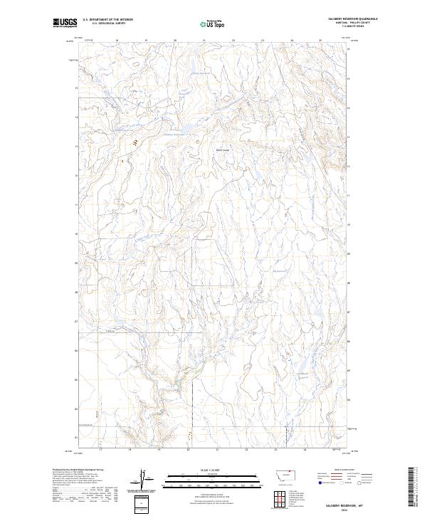
2024 Map of Salsbery Reservoir
USGS Topo · Published 2024About this map
Salsbery Reservoir and a network of namesake livestock and irrigation impoundments define this landscape in Phillips County, Montana. The terrain is deeply etched by drainages such as Stinky Creek and its eastern fork, which move through the low-lying Water Coulee toward the East Fork Whitewater Creek. The arrangement of these water features—including Schmittou Reservoir, Louie Reservoir, and Charley Reservoir—illustrates the critical role of water management in this arid northern prairie. While the map is sparse of traditional towns, the presence of named infrastructure like Turkey Track Rd and the Fjeldheim Reservoir reflects the area's legacy of large-scale ranching and land use at the turn of the 21st century.
Find a feature on this map
19 named features on this map. Tap any name to fly to it.
Don’t see what you’re looking for? This feature index may not catch every label — zoom into the map to look around manually.
Map Details
Editions of this 2024 Salsbery Reservoir Map
This is the sole edition of this map. No revisions or reprints were ever made.
Other maps of this area

1920 · Cowan
USGS Topo · 1:125,000

1954 · Glasgow
USGS Topo · 1:250,000

1957 · Glasgow
USGS Topo · 1:250,000

1958 · Glasgow
USGS Topo · 1:250,000

1968 · Tattnall
USGS Topo · 1:24,000

1984 · Thoeny Hills East
USGS Topo · 1:24,000

1984 · Pea Lake
USGS Topo · 1:24,000

1984 · Whitewater East
USGS Topo · 1:24,000

1984 · Forks
USGS Topo · 1:24,000

1984 · Dead Horse Coulee
USGS Topo · 1:24,000