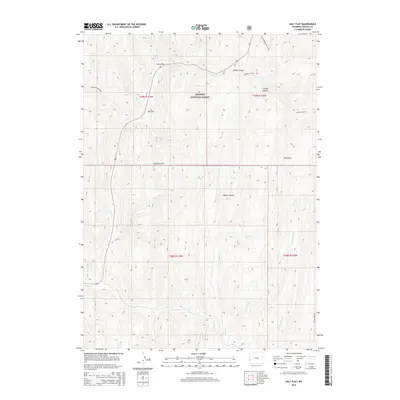
2015 Map of Salt Flat
USGS Topo · Published 2015About this map
Bridger National Forest dominates this Wyoming landscape, where the high elevations of the Gannett Hills meet the drainages of the Salt River watershed. This modern 2015 survey details the remote high-country terrain south of the Salt River, focusing on the small mountain flats and the complex network of canyons that define the local topography. Early mountain travel and modern recreation converge here, with the Fish Creek XC Ski Trail and Packstring Creek route providing access into the back country near Water Canyon and Adams Canyon.
Find a feature on this map
27 named features on this map. Tap any name to fly to it.
Don’t see what you’re looking for? This feature index may not catch every label — zoom into the map to look around manually.
Map Details
Editions of this 2015 Salt Flat Map
This is the sole edition of this map. No revisions or reprints were ever made.
Other maps of this area

1909 · Montpelier
USGS Topo · 1:125,000

1911 · Montpelier
USGS Topo · 1:125,000

1915 · Crow Creek
USGS Topo · 1:62,500

1921 · Afton
USGS Topo · 1:125,000

1936 · Cokeville
USGS Topo · 1:96,000

1942 · Cokeville
USGS Topo · 1:125,000

1955 · Preston
USGS Topo · 1:250,000

1958 · Preston
USGS Topo · 1:250,000

1962 · Preston
USGS Topo · 1:250,000

1967 · Big Park
USGS Topo · 1:24,000