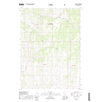
2017 Map of Salt Flat
USGS Topo · Published 2017About this map
Bridger National Forest defines the upper elevations of this Lincoln County survey, where the drainages of Salt Cr and Fish Cr carve through high-altitude terrain. The landscape is characterized by prominent high points like Pine Knoll and the Gannett Hills, which overlook basins such as Salt Flat and Allred Flat. These flats likely served as critical open spaces for grazing or seasonal movement in an otherwise steep environment.
Find a feature on this map
28 named features on this map. Tap any name to fly to it.
Don’t see what you’re looking for? This feature index may not catch every label — zoom into the map to look around manually.
Map Details
Editions of this 2017 Salt Flat Map
This is the sole edition of this map. No revisions or reprints were ever made.
Other maps of this area

1909 · Montpelier
USGS Topo · 1:125,000

1911 · Montpelier
USGS Topo · 1:125,000

1915 · Crow Creek
USGS Topo · 1:62,500

1921 · Afton
USGS Topo · 1:125,000

1936 · Cokeville
USGS Topo · 1:96,000

1942 · Cokeville
USGS Topo · 1:125,000

1955 · Preston
USGS Topo · 1:250,000

1958 · Preston
USGS Topo · 1:250,000

1962 · Preston
USGS Topo · 1:250,000

1967 · Big Park
USGS Topo · 1:24,000