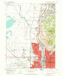
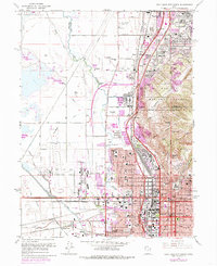
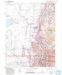
1963 Map of Salt Lake City North
USGS Topo · Published 1965About this map
Salt Lake City and its northern industrial and residential suburbs are shown here in the early 1960s, a period marked by significant transportation and aviation growth. The Salt Lake City Municipal Airport No 1 occupies a massive footprint in the west, while the rail-heavy corridors of the Denver and Rio Grande Western and Union Pacific facilitate heavy industry, including an Oil Refinery and several Gravel Pits along the bench.
Find a feature on this map
84 named features on this map. Tap any name to fly to it.
Don’t see what you’re looking for? This feature index may not catch every label — zoom into the map to look around manually.
Map Details
Editions of this 1963 Salt Lake City North Map
6 editions found
Other maps of this area

1885 · Salt Lake
USGS Topo · 1:250,000

1885 · Tooele Valley
USGS Topo · 1:250,000

1925 · Ft. Douglas
USGS Topo · 1:125,000

1928 · Ft. Douglas
USGS Topo · 1:125,000

1950 · Fort Douglas
USGS Topo · 1:24,000

1951 · Fort Douglas
USGS Topo · 1:24,000

1951 · Saltair
USGS Topo · 1:24,000

1951 · Salt Lake City South
USGS Topo · 1:24,000

1951 · Salt Lake City North
USGS Topo · 1:24,000

1952 · Saltair NE
USGS Topo · 1:24,000