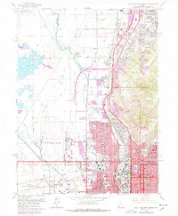
1963 Map of Salt Lake City North
USGS Topo · Published 1978About this map
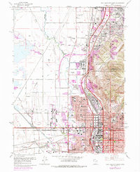
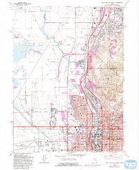
Salt Lake City spreads across the valley floor in the early 1960s, framed by the foothills of the Wasatch National Forest to the east and the industrial corridor of the Jordan River to the west. This period captures a landscape defined by significant infrastructure, from the extensive rail yards of the Union Pacific and Denver and Rio Grande Western to the growing Salt Lake City International Airport. Urban expansion is evident in neighborhoods like Rose Park and Val Verda, while the northern industrial zone is dominated by an Oil Refinery and the Sky Haven Airfield. Cultural and civic landmarks are prominently noted, including the State Fairgrounds, the City and Co Bldg, and the Pony Express Monument, providing a clear view of the city’s mid-century development and heritage sites like Ensign Pk.
Find a feature on this map
69 named features on this map. Tap any name to fly to it.
Don’t see what you’re looking for? This feature index may not catch every label — zoom into the map to look around manually.
Map Details
Editions of this 1963 Salt Lake City North Map
6 editions found
Other maps of this area

1885 · Salt Lake
USGS Topo · 1:250,000

1885 · Tooele Valley
USGS Topo · 1:250,000

1925 · Ft. Douglas
USGS Topo · 1:125,000

1928 · Ft. Douglas
USGS Topo · 1:125,000

1950 · Fort Douglas
USGS Topo · 1:24,000

1951 · Fort Douglas
USGS Topo · 1:24,000

1951 · Saltair
USGS Topo · 1:24,000

1951 · Salt Lake City South
USGS Topo · 1:24,000

1951 · Salt Lake City North
USGS Topo · 1:24,000

1952 · Saltair NE
USGS Topo · 1:24,000