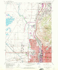
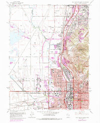
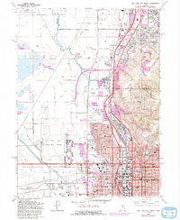
1963 Map of Salt Lake City North
USGS Topo · Published 1971About this map
Salt Lake City and its northern suburbs are captured in a period of significant mid-century expansion, with industrial infrastructure and residential growth pushing against the foothills of the Wasatch National Forest. The urban grid is anchored by civic landmarks like the State Capitol and Temple Square, while the western flats are dominated by the Salt Lake City Municipal Airport No 1 and a complex network of man-made waterways, including the Surplus Canal and Goggin Drain.
Find a feature on this map
82 named features on this map. Tap any name to fly to it.
Don’t see what you’re looking for? This feature index may not catch every label — zoom into the map to look around manually.
Map Details
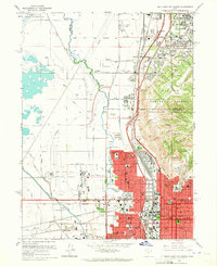
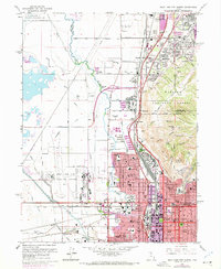
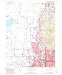
Editions of this 1963 Salt Lake City North Map
6 editions found
Other maps of this area

1885 · Salt Lake
USGS Topo · 1:250,000

1885 · Tooele Valley
USGS Topo · 1:250,000

1925 · Ft. Douglas
USGS Topo · 1:125,000

1928 · Ft. Douglas
USGS Topo · 1:125,000

1950 · Fort Douglas
USGS Topo · 1:24,000

1951 · Fort Douglas
USGS Topo · 1:24,000

1951 · Saltair
USGS Topo · 1:24,000

1951 · Salt Lake City South
USGS Topo · 1:24,000

1951 · Salt Lake City North
USGS Topo · 1:24,000

1952 · Saltair NE
USGS Topo · 1:24,000