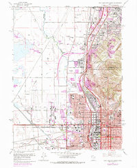
1963 Map of Salt Lake City North
USGS Topo · Published 1985About this map
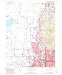
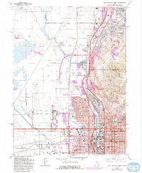
The Jordan River flows northward through a landscape defined by the intersection of industrial growth and natural boundaries in this mid-century portrait of northern Salt Lake City. This survey highlights the complex infrastructure supporting the city's expansion, from the Oil Refinery near Becks to the sprawling Salt Lake City International Airport to the west. The influence of the Wasatch National Forest is evident along the eastern edge, where the terrain rises sharply toward Ensign Peak and Meridian Peak.
Find a feature on this map
63 named features on this map. Tap any name to fly to it.
Don’t see what you’re looking for? This feature index may not catch every label — zoom into the map to look around manually.
Map Details
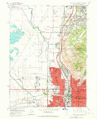
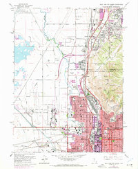
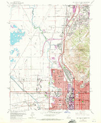
Editions of this 1963 Salt Lake City North Map
6 editions found
Other maps of this area

1885 · Salt Lake
USGS Topo · 1:250,000

1885 · Tooele Valley
USGS Topo · 1:250,000

1925 · Ft. Douglas
USGS Topo · 1:125,000

1928 · Ft. Douglas
USGS Topo · 1:125,000

1950 · Fort Douglas
USGS Topo · 1:24,000

1951 · Fort Douglas
USGS Topo · 1:24,000

1951 · Saltair
USGS Topo · 1:24,000

1951 · Salt Lake City South
USGS Topo · 1:24,000

1951 · Salt Lake City North
USGS Topo · 1:24,000

1952 · Saltair NE
USGS Topo · 1:24,000