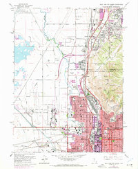
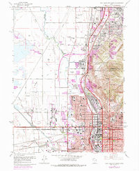
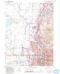
1963 Map of Salt Lake City North
USGS Topo · Published 1970About this map
Salt Lake City spreads across this 1960s landscape, illustrating the rapid mid-century development of the northern valley before the modern highway era matured. The urban grid transitions from the historic core near the Capitol and Pony Express Monument into residential neighborhoods like Rose Park, which is defined by an extensive network of local schools including Northwest Jr H S and Backman Sch.
Find a feature on this map
114 named features on this map. Tap any name to fly to it.
Don’t see what you’re looking for? This feature index may not catch every label — zoom into the map to look around manually.
Map Details
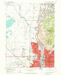
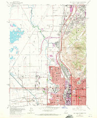
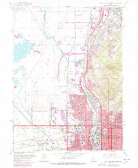
Editions of this 1963 Salt Lake City North Map
6 editions found
Other maps of this area

1885 · Salt Lake
USGS Topo · 1:250,000

1885 · Tooele Valley
USGS Topo · 1:250,000

1925 · Ft. Douglas
USGS Topo · 1:125,000

1928 · Ft. Douglas
USGS Topo · 1:125,000

1950 · Fort Douglas
USGS Topo · 1:24,000

1951 · Fort Douglas
USGS Topo · 1:24,000

1951 · Saltair
USGS Topo · 1:24,000

1951 · Salt Lake City South
USGS Topo · 1:24,000

1951 · Salt Lake City North
USGS Topo · 1:24,000

1952 · Saltair NE
USGS Topo · 1:24,000