
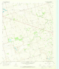
1965 Map of Salt Lake
USGS Topo · Published 1966About this map
Salt Lake and the winding course of Johnson Draw define this mid-1960s landscape in Midland County, where the ranching tradition of the Permian Basin intersects with modern infrastructure. The map reveals a land heavily dependent on groundwater management, evidenced by a high density of family-named water sources like Fortyfour Windmill, Youngblood Windmill, and Reynolds Windmill.
Find a feature on this map
22 named features on this map. Tap any name to fly to it.
Don’t see what you’re looking for? This feature index may not catch every label — zoom into the map to look around manually.
Map Details
Editions of this 1965 Salt Lake Map
This is the sole edition of this map. No revisions or reprints were ever made.
Other maps of this area

1954 · Pecos
USGS Topo · 1:250,000

1954 · San Angelo
USGS Topo · 1:250,000

1957 · Pecos
USGS Topo · 1:250,000

1958 · San Angelo
USGS Topo · 1:250,000

1964 · Bryant Ranch
USGS Topo · 1:24,000

1965 · San Angelo
USGS Topo · 1:250,000

1965 · Southeast Midland
USGS Topo · 1:24,000

1965 · Spraberry
USGS Topo · 1:24,000

1965 · Pecks Lake
USGS Topo · 1:24,000
1965 · Stephenson Lake
USGS Topo · 1:24,000