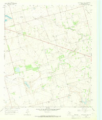
1965 Map of Stephenson Lake
USGS Topo · Published 1966About this map
The Willis Ranch and the rural surroundings of Midland dominate this mid-1960s landscape, where the expansion of the West Texas energy sector is visible through the Gas Plant, a Pumping Station, and numerous oil wells. The terrain is defined by the ephemeral courses of Midland Draw and Monahans Draw, which carve through the plains toward Stephenson Lake and Conaway Lake.
Find a feature on this map
14 named features on this map. Tap any name to fly to it.
Don’t see what you’re looking for? This feature index may not catch every label — zoom into the map to look around manually.
Map Details
Editions of this 1965 Stephenson Lake Map
2 editions found
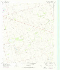
Other maps of this area

1954 · Hobbs
USGS Topo · 1:250,000

1954 · Pecos
USGS Topo · 1:250,000

1954 · Big Spring
USGS Topo · 1:250,000

1954 · San Angelo
USGS Topo · 1:250,000

1957 · Pecos
USGS Topo · 1:250,000

1958 · San Angelo
USGS Topo · 1:250,000

1958 · Big Spring
USGS Topo · 1:250,000

1958 · Hobbs
USGS Topo · 1:250,000

1964 · Bryant Ranch
USGS Topo · 1:24,000

1965 · San Angelo
USGS Topo · 1:250,000