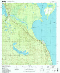
1994 Map of Salt Springs
USGS Topo · Published 1998About this map
Salt Springs serves as the focal point of this northern Florida landscape, situated where the Salt Springs Run begins its winding course toward the Lake George basin. This 1994 photoinspection, based on 1960s imagery, details the intersection of waterways and protected lands within the Ocala National Forest. To the east, the St Johns River flows past Hog Island and Drayton Island, the latter defined by its distinct points like Kinsley Pt.
Find a feature on this map
24 named features on this map. Tap any name to fly to it.
Don’t see what you’re looking for? This feature index may not catch every label — zoom into the map to look around manually.
Map Details
Editions of this 1994 Salt Springs Map
This is the sole edition of this map. No revisions or reprints were ever made.
Other maps of this area

1954 · Daytona Beach
USGS Topo · 1:250,000

1958 · Daytona Beach
USGS Topo · 1:250,000

1964 · Daytona Beach
USGS Topo · 1:250,000

1970 · Crescent City
USGS Topo · 1:24,000

1970 · Welaka SE
USGS Topo · 1:24,000

1970 · Welaka
USGS Topo · 1:24,000
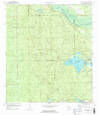
1970 · Lake Delancy
USGS Topo · 1:24,000

1970 · Salt Springs
USGS Topo · 1:24,000

1970 · Halfmoon Lake
USGS Topo · 1:24,000
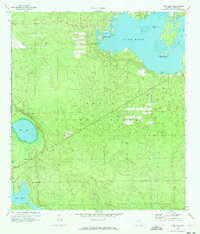
1970 · Lake Kerr
USGS Topo · 1:24,000