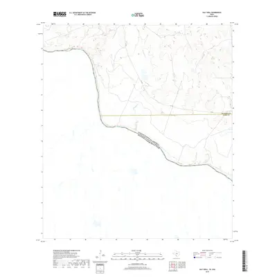
2019 Map of Salt Well
USGS Topo · Published 2019About this map
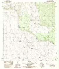
The United States of America Estados Unidos Mexicanos international boundary follows the winding course of the Rio Grande through this sparsely populated stretch of the Texas borderlands. This 2019 survey documents the river as it carves through the arid terrain of Maverick Co and Webb Co, illustrating the significant relief of the river valley compared to the surrounding uplands. A primary artery for the region, FM 1021 provides the only major road access, navigating the high ground above the drainage of Borrego Cr. The landscape is defined by the transition from the riparian environment of the river to the high, dissected plateaus, where the fine contour work of the U.S. Geological Survey reveals the complex network of dry arroyos and ridges that dominate this remote part of South Texas.
Find a feature on this map
5 named features on this map. Tap any name to fly to it.
Don’t see what you’re looking for? This feature index may not catch every label — zoom into the map to look around manually.
Map Details
Editions of this 2019 Salt Well Map
This is the sole edition of this map. No revisions or reprints were ever made.
Other maps of this area

1940 · Chupadera
USGS Topo · 1:62,500

1941 · Botella Creek
USGS Topo · 1:62,500

1957 · Indio Creek
USGS Topo · 1:62,500

1957 · Botella Creek
USGS Topo · 1:62,500

1958 · Eagle Pass
USGS Topo · 1:250,000

1965 · Eagle Pass
USGS Topo · 1:250,000
1982 · Tovar Creek East
USGS Topo · 1:24,000
1982 · San Pedro Creek
USGS Topo · 1:24,000
1983 · Tovar Creek West
USGS Topo · 1:24,000
1983 · Salt Well
USGS Topo · 1:24,000