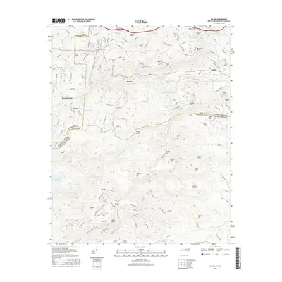
2016 Map of Saluda
USGS Topo · Published 2016About this map
Saluda sits at the edge of the Blue Ridge escarpment, where the Norfolk Southern railroad tracks follow the steep grade through a landscape of peaks and ridges. The terrain transitions between North and South Carolina, defined by high points like Big Warrior Mtn and Hogback Mtn. Waterways including the N Saluda River and S Pacolet River flow through the valleys, supporting several small lakes such as Melrose Mountain Lake Number One and the larger N Saluda Reservoir.
Find a feature on this map
67 named features on this map. Tap any name to fly to it.
Don’t see what you’re looking for? This feature index may not catch every label — zoom into the map to look around manually.
Map Details
Editions of this 2016 Saluda Map
This is the sole edition of this map. No revisions or reprints were ever made.
Other maps of this area

1907 · Saluda
USGS Topo · 1:125,000

1935 · Hendersonville
USGS Topo · 1:24,000

1935 · Fishtop
USGS Topo · 1:24,000

1935 · Zirconia
USGS Topo · 1:24,000

1946 · Zirconia
USGS Topo · 1:24,000
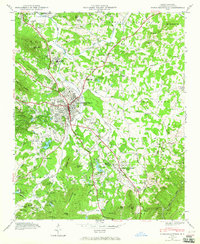
1946 · Hendersonville
USGS Topo · 1:24,000

1946 · Cliffield Mtn
USGS Topo · 1:24,000
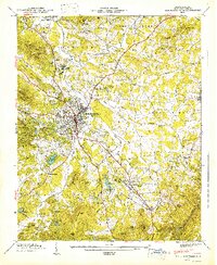
1947 · Hendersonville
USGS Topo · 1:24,000
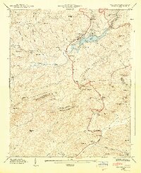
1947 · Zirconia
USGS Topo · 1:24,000

1947 · Cliffield Mtn.
USGS Topo · 1:24,000