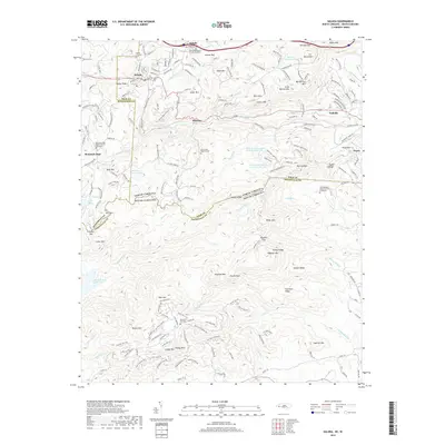
2019 Map of Saluda
USGS Topo · Published 2019About this map
Saluda sits at the precipice of the Blue Ridge Escarpment, where the Norfolk Southern line navigates the famous grade down toward Melrose and Tryon. This survey documents the complex topography and drainage of the upper N Pacolet River and N Saluda River headwaters, capturing a landscape where steep ridges like Hogback Mtn and Big Warrior Mtn define local settlement patterns. The map is a significant resource for genealogists, preserving the locations of numerous community anchors such as Friendship Baptist Church Graveyard and Mountain Page Baptist Church Graveyard. Beyond the primary townships, the terrain is marked by notable natural landmarks including Pearsons Falls and the North Saluda Reservoir. The interstate corridor of I-26 and the winding path of Us 176 parallel the historic rail route, tracing the paths of commerce and transit through the Howard Gap and across the state line into South Carolina.
Find a feature on this map
193 named features on this map. Tap any name to fly to it.
Don’t see what you’re looking for? This feature index may not catch every label — zoom into the map to look around manually.
Map Details
Editions of this 2019 Saluda Map
This is the sole edition of this map. No revisions or reprints were ever made.
Other maps of this area

1907 · Saluda
USGS Topo · 1:125,000

1935 · Hendersonville
USGS Topo · 1:24,000

1935 · Fishtop
USGS Topo · 1:24,000

1935 · Zirconia
USGS Topo · 1:24,000

1946 · Zirconia
USGS Topo · 1:24,000
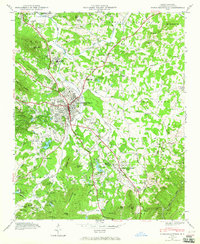
1946 · Hendersonville
USGS Topo · 1:24,000

1946 · Cliffield Mtn
USGS Topo · 1:24,000
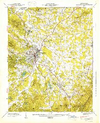
1947 · Hendersonville
USGS Topo · 1:24,000
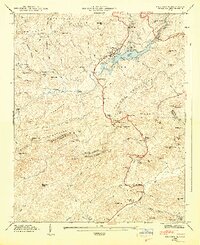
1947 · Zirconia
USGS Topo · 1:24,000

1947 · Cliffield Mtn.
USGS Topo · 1:24,000