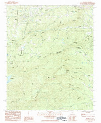
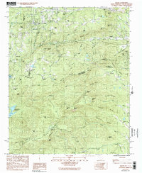
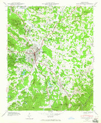
1983 Map of Saluda
USGS Topo · Published 1983About this map
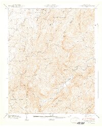
The Southern railroad line winds through the dramatic topography of the Blue Ridge escarpment, passing through the town of Saluda and the settlement of Melrose as it descends toward Tryon. This 1983 provisional survey highlights a landscape of high ridges and deep gaps, where the North Pacolet River and Saluda River headwaters emerge from the steep slopes of Glassy Mountain and Hogback Mtn. Local landmarks like Pearsons Falls and North Saluda Reservoir are clearly mapped alongside the small rural congregational centers that define the community's history, including Friendship Ch and Piney Grove Ch. The map provides a precise view of the boundary between Polk and Henderson counties in North Carolina as it meets the South Carolina state line, showing how the transport corridor of the Southern rail route dictated the placement of mountain settlements.
Find a feature on this map
73 named features on this map. Tap any name to fly to it.
Don’t see what you’re looking for? This feature index may not catch every label — zoom into the map to look around manually.
Map Details
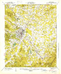
Editions of this 1983 Saluda Map
2 editions found
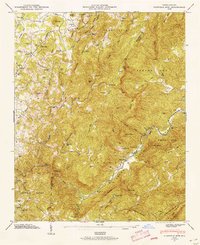
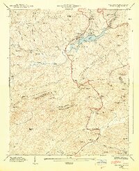
Other maps of this area

1907 · Saluda
USGS Topo · 1:125,000

1935 · Hendersonville
USGS Topo · 1:24,000
1935 · Fishtop
USGS Topo · 1:24,000

1935 · Zirconia
USGS Topo · 1:24,000
1946 · Zirconia
USGS Topo · 1:24,000
1946 · Hendersonville
USGS Topo · 1:24,000
1946 · Cliffield Mtn
USGS Topo · 1:24,000
1947 · Hendersonville
USGS Topo · 1:24,000
1947 · Zirconia
USGS Topo · 1:24,000
1947 · Cliffield Mtn.
USGS Topo · 1:24,000