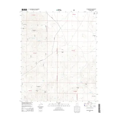
2013 Map of Salvation Peak
USGS Topo · Published 2013About this map
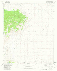
The Continental Divide winds through this high-altitude landscape in the Gila National Forest, marking the watershed of southwestern New Mexico. The terrain is defined by dramatic elevation changes, with Salvation Peak and Upper Salvation Peak standing as prominent landmarks above a network of drainages including Musick Canyon, Moraga Canyon, and Salvation Canyon. Human presence in this arid environment is recorded through an extensive system of catchment features like Salvation Tank, Badger Tank, and Bluff Tank, essential for managing water in the high backcountry. To the northeast, the land transitions toward the Plains of San Agustin, while the winding Bursum Rd provides the primary passage through these remote forest sections. The map reveals a specialized landscape where the ranching and forest-service history of the Mogollon Mountains is evident in every named tank and canyon.
Find a feature on this map
31 named features on this map. Tap any name to fly to it.
Don’t see what you’re looking for? This feature index may not catch every label — zoom into the map to look around manually.
Map Details
Editions of this 2013 Salvation Peak Map
This is the sole edition of this map. No revisions or reprints were ever made.
Other maps of this area

1918 · Pelona
USGS Topo · 1:125,000

1954 · Clifton
USGS Topo · 1:250,000

1957 · Clifton
USGS Topo · 1:250,000

1958 · Clifton
USGS Topo · 1:250,000

1962 · Clifton
USGS Topo · 1:250,000
1963 · Pitchfork Canyon
USGS Topo · 1:24,000

1981 · Fullerton
USGS Topo · 1:24,000
1981 · Collins Park
USGS Topo · 1:24,000
1981 · Rail Canyon
USGS Topo · 1:24,000
1981 · Rael Spring
USGS Topo · 1:24,000