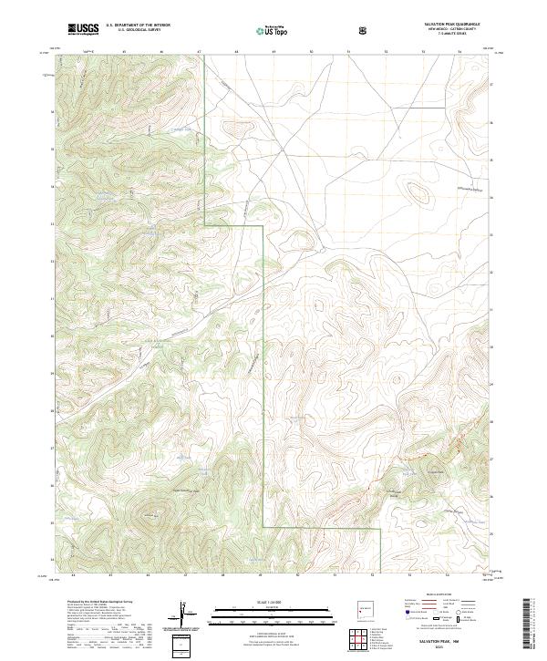
2023 Map of Salvation Peak
USGS Topo · Published 2023About this map
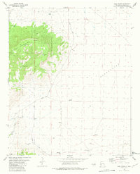
Salvation Peak and its lower neighbor Upper Salvation Peak dominate this high-elevation landscape within the Gila National Forest. The map documents a critical segment of the Continental Divide, where the waters of Salvation Canyon and Y Canyon separate along the spine of the continent. This 2023 survey illustrates how water management remains vital in the high desert of Catron County, indicated by the numerous man-made watering points such as Badger Tank, Bluff Tank, and Roadside Tank that dot the drainage basins.
Find a feature on this map
29 named features on this map. Tap any name to fly to it.
Don’t see what you’re looking for? This feature index may not catch every label — zoom into the map to look around manually.
Map Details
Editions of this 2023 Salvation Peak Map
This is the sole edition of this map. No revisions or reprints were ever made.
Other maps of this area

1918 · Pelona
USGS Topo · 1:125,000

1954 · Clifton
USGS Topo · 1:250,000

1957 · Clifton
USGS Topo · 1:250,000

1958 · Clifton
USGS Topo · 1:250,000

1962 · Clifton
USGS Topo · 1:250,000
1963 · Pitchfork Canyon
USGS Topo · 1:24,000

1981 · Fullerton
USGS Topo · 1:24,000
1981 · Collins Park
USGS Topo · 1:24,000
1981 · Rail Canyon
USGS Topo · 1:24,000
1981 · Rael Spring
USGS Topo · 1:24,000