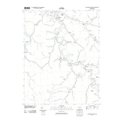
2010 Map of Salyersville South
USGS Topo · Published 2010About this map
The Licking River carves a winding path through this portion of Magoffin County, creating a landscape defined by sharp oxbows and narrow creek valleys. A notable series of family-named settlements like Lakeville, Royalton, and Swampton are established along the river banks and its many tributaries, such as Stinson Creek and Arnett Branch. The distribution of burial sites is particularly dense, including the Nathan Howard Cemetery, Kenis Mann Cemetery, and Gardner Cemetery, reflecting generations of family history in these rural hollows.
Find a feature on this map
104 named features on this map. Tap any name to fly to it.
Don’t see what you’re looking for? This feature index may not catch every label — zoom into the map to look around manually.
Map Details
Editions of this 2010 Salyersville South Map
This is the sole edition of this map. No revisions or reprints were ever made.
Other maps of this area

1886 · Prestonsburg
USGS Topo · 1:125,000

1889 · Salyersville
USGS Topo · 1:125,000

1891 · Salyersville
USGS Topo · 1:125,000

1892 · Prestonsburg
USGS Topo · 1:125,000

1899 · Salyersville
USGS Topo · 1:125,000

1915 · Paintsville
USGS Topo · 1:48,000

1915 · Prestonsburg
USGS Topo · 1:62,500

1917 · Paintsville
USGS Topo · 1:62,500

1918 · Prestonsburg
USGS Topo · 1:62,500

1951 · Tiptop
USGS Topo · 1:24,000