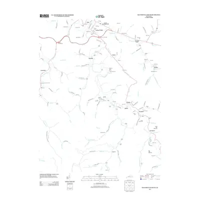
2013 Map of Salyersville South
USGS Topo · Published 2013About this map
The Licking River winds through this central Magoffin County landscape, anchoring a network of valley settlements and family homesteads. The map reveals the community structure of the early 21st century, where hamlets like Lakeville, Royalton, and Swampton are connected by winding hollow roads. A significant number of family-named burial sites, such as the Ambrose and Susan Arnett Cem, Nathan Howard Cem, and Moses Hoskins Cem, are documented throughout the hills, providing a rich resource for genealogical research in this part of Kentucky.
Find a feature on this map
135 named features on this map. Tap any name to fly to it.
Don’t see what you’re looking for? This feature index may not catch every label — zoom into the map to look around manually.
Map Details
Editions of this 2013 Salyersville South Map
This is the sole edition of this map. No revisions or reprints were ever made.
Other maps of this area

1886 · Prestonsburg
USGS Topo · 1:125,000

1889 · Salyersville
USGS Topo · 1:125,000

1891 · Salyersville
USGS Topo · 1:125,000

1892 · Prestonsburg
USGS Topo · 1:125,000

1899 · Salyersville
USGS Topo · 1:125,000

1915 · Paintsville
USGS Topo · 1:48,000

1915 · Prestonsburg
USGS Topo · 1:62,500

1917 · Paintsville
USGS Topo · 1:62,500

1918 · Prestonsburg
USGS Topo · 1:62,500

1951 · Tiptop
USGS Topo · 1:24,000