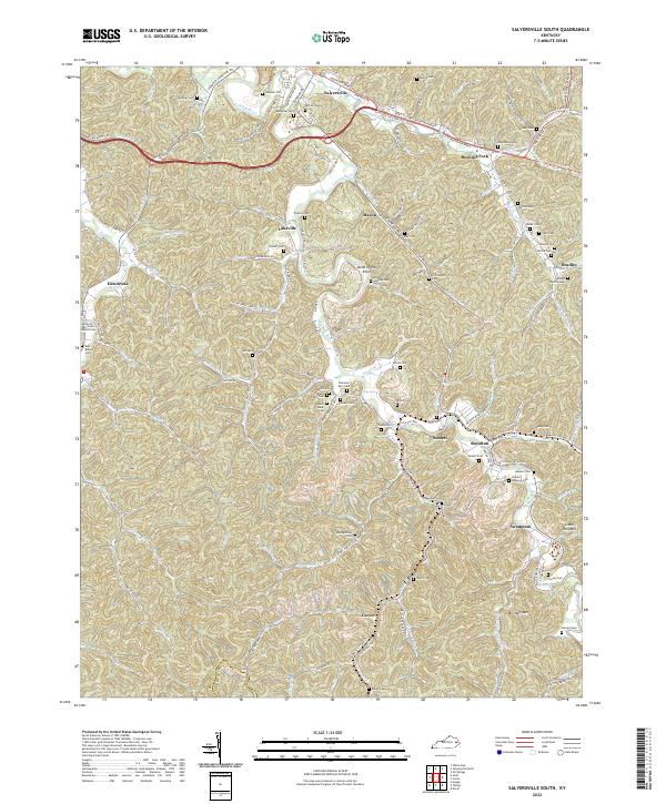
2022 Map of Salyersville South
USGS Topo · Published 2022About this map
Salyersville serves as the focal point of this region in Magoffin County, where the Licking River winds through a landscape defined by sharp ridges and deep hollows. The valley floor is marked by numerous small settlements and family holdings, including Mason, Sublett, and Royalton. This modern survey illustrates the enduring agricultural and residential patterns of eastern Kentucky, with contemporary infrastructure like the Mountain Pkwy cutting through the northern hills.
Find a feature on this map
71 named features on this map. Tap any name to fly to it.
Don’t see what you’re looking for? This feature index may not catch every label — zoom into the map to look around manually.
Map Details
Editions of this 2022 Salyersville South Map
This is the sole edition of this map. No revisions or reprints were ever made.
Other maps of this area

1886 · Prestonsburg
USGS Topo · 1:125,000

1889 · Salyersville
USGS Topo · 1:125,000

1891 · Salyersville
USGS Topo · 1:125,000

1892 · Prestonsburg
USGS Topo · 1:125,000

1899 · Salyersville
USGS Topo · 1:125,000

1915 · Paintsville
USGS Topo · 1:48,000

1915 · Prestonsburg
USGS Topo · 1:62,500

1917 · Paintsville
USGS Topo · 1:62,500

1918 · Prestonsburg
USGS Topo · 1:62,500

1951 · Tiptop
USGS Topo · 1:24,000