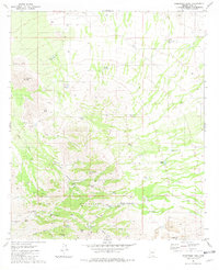
1981 Map of Samaniego Peak
USGS Topo · Published 1981About this map
Samaniego Peak rises as a central landmark within the Sierrita Mountains, anchor points for a landscape defined by ranching infrastructure and mineral extraction. This 1981 edition documents the arid terrain as it appeared during a period of industrial shift, particularly visible at the Sierrita Mine (West Pit) and its associated Mine Dump. The map reveals a network of water sources essential for desert survival and operations, including Bills Spring, Graus Spring, and several family-named improvements such as Mickey Rye Well and the Zapeda Well. Small clusters of habitation and named locales like Mc Gees Settlement and Demetrie provide evidence of local history and land use. The presence of numerous 4WD tracks and washes like Fresnal Wash and Soto Wash highlights the remote nature of the terrain, while the Fortuna Mine and various Prospect markings indicate a long-standing history of prospecting in the canyons.
Find a feature on this map
50 named features on this map. Tap any name to fly to it.
Don’t see what you’re looking for? This feature index may not catch every label — zoom into the map to look around manually.
Map Details
Editions of this 1981 Samaniego Peak Map
2 editions found
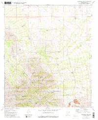
Other maps of this area

1920 · Arivaca
USGS Topo · 1:125,000

1925 · Samaniego Peak
USGS Topo · 1:62,500

1925 · San Xavier
USGS Topo · 1:62,500

1934 · Tucson Mountains
USGS Topo · 1:125,000

1939 · Twin Buttes
USGS Topo · 1:62,500

1940 · Palo Alto Ranch
USGS Topo · 1:62,500

1941 · Twin Buttes
USGS Topo · 1:62,500

1941 · Cocoraque Butte
USGS Topo · 1:62,500

1943 · Cocoraque Butte
USGS Topo · 1:62,500

1943 · Palo Alto Ranch
USGS Topo · 1:62,500