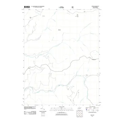
2011 Map of Samp
USGS Topo · Published 2011About this map
Whitaker Falls and the winding Elk River define this mountain landscape in Randolph County. The area is characterized by high ridges such as Back Fork Mountain and notable summits like Mast Knob and Pisgah Knob, while human activity is concentrated at small settlements including Middlebrook, Waneta, and Samp. Genealogists and local historians will find significant landmarks such as the Cowger Cemetery and the Parting Springs Lookout Tower near Parting Springs.
Find a feature on this map
40 named features on this map. Tap any name to fly to it.
Don’t see what you’re looking for? This feature index may not catch every label — zoom into the map to look around manually.
Map Details
Editions of this 2011 Samp Map
This is the sole edition of this map. No revisions or reprints were ever made.
Other maps of this area

1891 · Huntersville
USGS Topo · 1:125,000

1893 · Buckhannon
USGS Topo · 1:125,000

1894 · Huntersville
USGS Topo · 1:125,000

1896 · Buckhannon
USGS Topo · 1:125,000

1897 · Buckhannon
USGS Topo · 1:125,000

1913 · Hacker Valley
USGS Topo · 1:48,000

1913 · Pickens
USGS Topo · 1:48,000

1915 · Webster Springs
USGS Topo · 1:48,000

1915 · Hacker Valley
USGS Topo · 1:62,500

1915 · Pickens
USGS Topo · 1:62,500