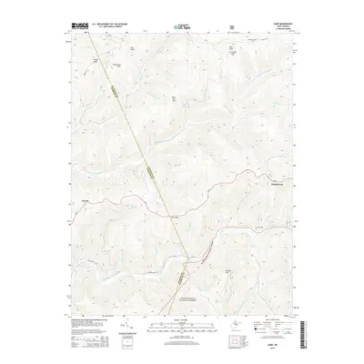
2014 Map of Samp
USGS Topo · Published 2014About this map
Point Mtn and Back Fork Mtn form the high-elevation backbone of this West Virginia landscape, where the Randolph Co and Webster Co boundary winds through a complex network of headwaters. The drainage patterns are particularly intricate, with the Back Fork Elk River and the Elk River carving deep valleys that have long dictated human settlement and transit. Small communities like Middlebrook and Waneta are situated along these watercourses and the established routes of WV-15.
Find a feature on this map
46 named features on this map. Tap any name to fly to it.
Don’t see what you’re looking for? This feature index may not catch every label — zoom into the map to look around manually.
Map Details
Editions of this 2014 Samp Map
This is the sole edition of this map. No revisions or reprints were ever made.
Other maps of this area

1891 · Huntersville
USGS Topo · 1:125,000

1893 · Buckhannon
USGS Topo · 1:125,000

1894 · Huntersville
USGS Topo · 1:125,000

1896 · Buckhannon
USGS Topo · 1:125,000

1897 · Buckhannon
USGS Topo · 1:125,000

1913 · Hacker Valley
USGS Topo · 1:48,000

1913 · Pickens
USGS Topo · 1:48,000

1915 · Webster Springs
USGS Topo · 1:48,000

1915 · Hacker Valley
USGS Topo · 1:62,500

1915 · Pickens
USGS Topo · 1:62,500