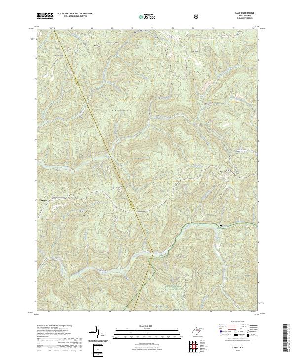
2023 Map of Samp
USGS Topo · Published 2023About this map
Waneta and the rugged heights of Point Mountain define this heavily forested landscape along the border of Webster and Randolph counties. The topography is dominated by the steep drainages of the Back Fork Elk River and the main Elk River, which meet near the natural landmark of Whitaker Falls. A dense network of runs and creeks, including Sugar Creek, Anderson Camp Run, and Hickorylick Run, carve deep valleys between high ridges like Back Fork Mtn and Turkeybone Mtn.
Find a feature on this map
45 named features on this map. Tap any name to fly to it.
Don’t see what you’re looking for? This feature index may not catch every label — zoom into the map to look around manually.
Map Details
Editions of this 2023 Samp Map
This is the sole edition of this map. No revisions or reprints were ever made.
Other maps of this area

1891 · Huntersville
USGS Topo · 1:125,000

1893 · Buckhannon
USGS Topo · 1:125,000

1894 · Huntersville
USGS Topo · 1:125,000

1896 · Buckhannon
USGS Topo · 1:125,000

1897 · Buckhannon
USGS Topo · 1:125,000

1913 · Hacker Valley
USGS Topo · 1:48,000

1913 · Pickens
USGS Topo · 1:48,000

1915 · Webster Springs
USGS Topo · 1:48,000

1915 · Hacker Valley
USGS Topo · 1:62,500

1915 · Pickens
USGS Topo · 1:62,500