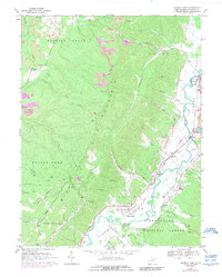
1977 Map of Samp
USGS Topo · Published 1989About this map
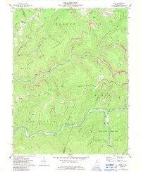
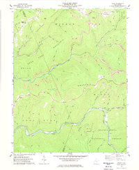
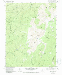
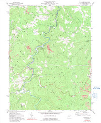
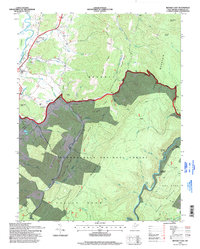
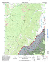
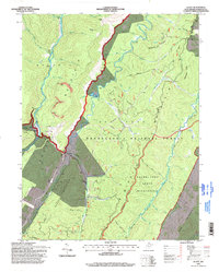
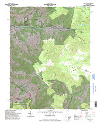
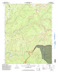
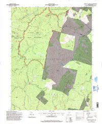
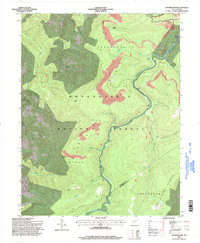
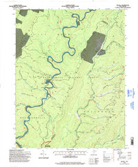
Turkeybone Mountain and Middle Fork Mountain define the high elevations of the central Appalachians in this 1970s survey. The landscape is dominated by the Monongahela National Forest and Kumbrabow State Forest, where resource extraction and conservation meet. Evidence of the region's industrial activity is visible in the Coalbank Strip Mine and other high-ridge Strip Mines.
Find a feature on this map
51 named features on this map. Tap any name to fly to it.
Don’t see what you’re looking for? This feature index may not catch every label — zoom into the map to look around manually.
Map Details
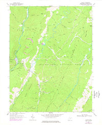
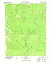
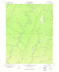
Editions of this 1977 Samp Map
2 editions found
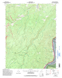
Historical Maps of Waneta Through Time
34 maps found
1922 Horton
Randolph County, WV
1924 Horton
Randolph County, WV
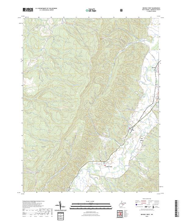
1968 Beverly West
Randolph County, WV
1968 Glady
Randolph County, WV
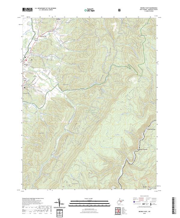
1969 Beverly East
Randolph County, WV
1969 Laneville
Randolph County, WV
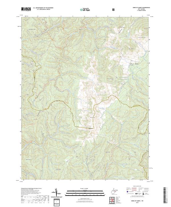
1970 Sinks Of Gandy
Randolph County, WV
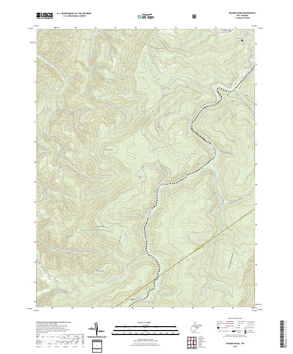
1974 Snyder Knob
Randolph County, WV
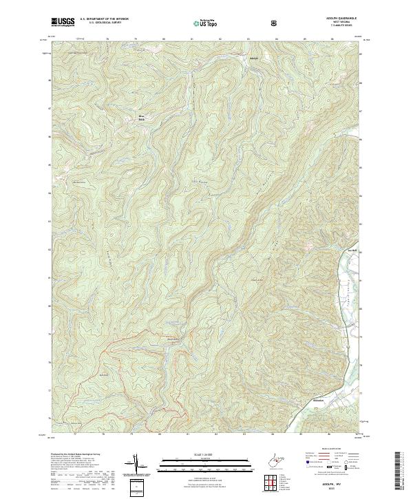
1977 Adolph
Randolph County, WV
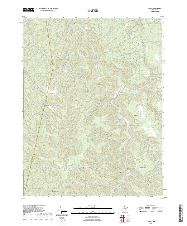
1977 Cassity
Randolph County, WV
1977 Ellamore
Randolph County, WV
1977 Samp
Randolph County, WV
1977 Snyder Knob
Randolph County, WV
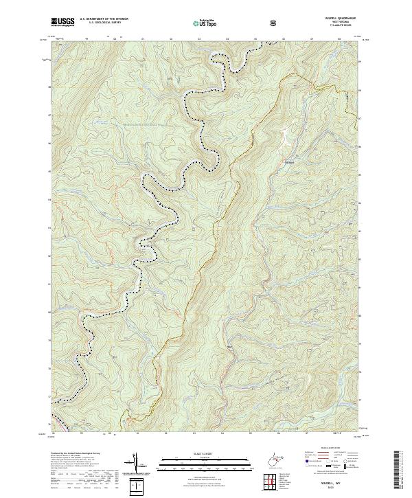
1977 Wildell
Randolph County, WV
1995 Adolph
Randolph County, WV
1995 Beverly East
Randolph County, WV
1995 Beverly West
Randolph County, WV
1995 Glady
Randolph County, WV
1995 Laneville
Randolph County, WV
1995 Samp
Randolph County, WV
1995 Sinks of Gandy
Randolph County, WV
1995 Snyder Knob
Randolph County, WV
1995 Wildell
Randolph County, WV
2023 Adolph
Randolph County, WV
2023 Beverly East
Randolph County, WV
2023 Beverly West
Randolph County, WV
2023 Cassity
Randolph County, WV
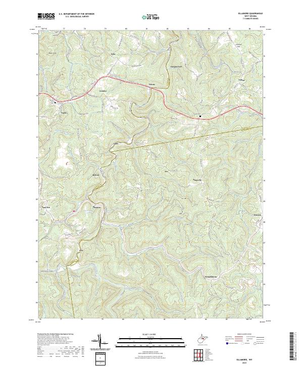
2023 Ellamore
Randolph County, WV
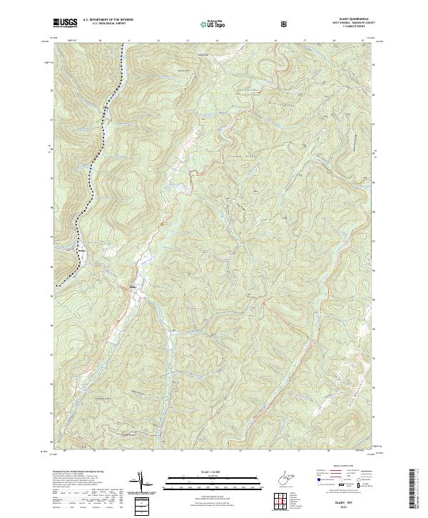
2023 Glady
Randolph County, WV
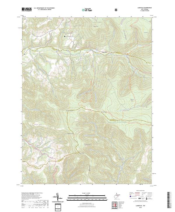
2023 Laneville
Randolph County, WV
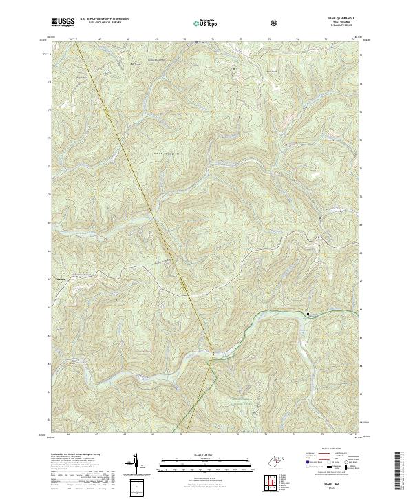
2023 Samp
Randolph County, WV
2023 Sinks of Gandy
Randolph County, WV
2023 Snyder Knob
Randolph County, WV
2023 Wildell
Randolph County, WV