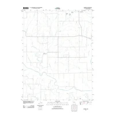
2012 Map of Sampsel
USGS Topo · Published 2012About this map
The Grand River snakes through the southern reaches of this Livingston County landscape, defining the low-lying topography south of Sampsel. This 2012 survey illustrates a predominantly rural Missouri river valley, where the confluence of the Thompson River and various smaller tributaries like Lake Creek and Hog Branch create a complex network of drainage basins. To the northeast, the settlement of Springhill sits near a cluster of managed water bodies, including Straight Lake West Dam and McVey Lake Dam.
Find a feature on this map
46 named features on this map. Tap any name to fly to it.
Don’t see what you’re looking for? This feature index may not catch every label — zoom into the map to look around manually.
Map Details
Editions of this 2012 Sampsel Map
This is the sole edition of this map. No revisions or reprints were ever made.
Other maps of this area

1921 · Chillicothe
USGS Topo · 1:62,500

1922 · Gallatin
USGS Topo · 1:62,500

1923 · Chillicothe
USGS Topo · 1:62,500

1924 · Dawn
USGS Topo · 1:62,500

1924 · Braymer
USGS Topo · 1:62,500

1951 · Utica
USGS Topo · 1:62,500

1953 · Moberly
USGS Topo · 1:250,000

1954 · Moberly
USGS Topo · 1:250,000

1957 · Moberly
USGS Topo · 1:250,000

1960 · Moberly
USGS Topo · 1:250,000