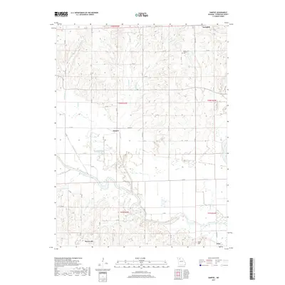
2017 Map of Sampsel
USGS Topo · Published 2017About this map
The Grand River snakes across this northern Missouri landscape, defining a wide floodplain that dominates the southern half of the region. Near the river's bends, the settlements of Mooresville and Utica sit along the southern margin, while the small community of Sampsel is situated further north along Highway N. The terrain is characterized by numerous small drainage systems like Indian Br and Lake Cr that feed into the larger river valley, creating a network of ridges and draws.
Find a feature on this map
50 named features on this map. Tap any name to fly to it.
Don’t see what you’re looking for? This feature index may not catch every label — zoom into the map to look around manually.
Map Details
Editions of this 2017 Sampsel Map
This is the sole edition of this map. No revisions or reprints were ever made.
Other maps of this area

1921 · Chillicothe
USGS Topo · 1:62,500

1922 · Gallatin
USGS Topo · 1:62,500

1923 · Chillicothe
USGS Topo · 1:62,500

1924 · Dawn
USGS Topo · 1:62,500

1924 · Braymer
USGS Topo · 1:62,500

1951 · Utica
USGS Topo · 1:62,500

1953 · Moberly
USGS Topo · 1:250,000

1954 · Moberly
USGS Topo · 1:250,000

1957 · Moberly
USGS Topo · 1:250,000

1960 · Moberly
USGS Topo · 1:250,000