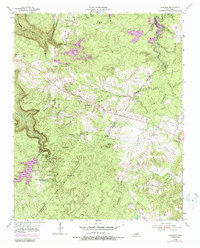
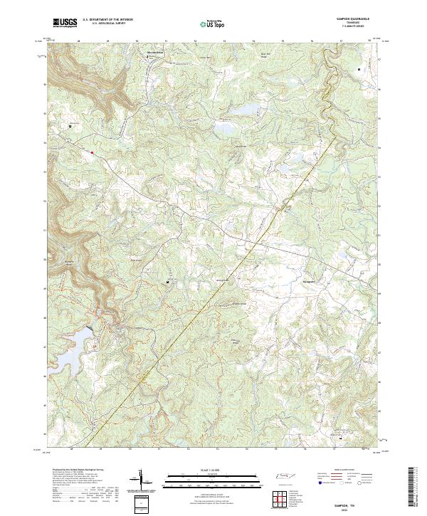
1954 Map of Sampson
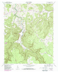
USGS Topo · Published 1988About this map
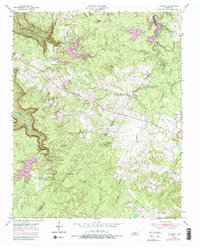
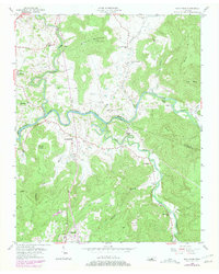
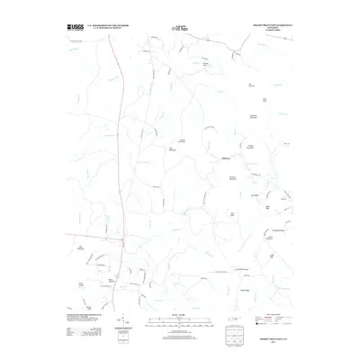
The dramatic gorge country of the Cumberland Plateau is centered here on Cane Creek Falls and the headwaters of the Cane Creek system. This mid-century survey captures the region as conservation efforts solidified around Falls Creek Falls State Park, preserving landmarks like the Cane Creek Falls and the Falls Creek Falls Scout Camp. The rugged landscape is punctuated by isolated plateau settlements like Mooneyham and Sampson, where life revolved around local institutions such as New Martin Sch and Mt View Ch.
Find a feature on this map
41 named features on this map. Tap any name to fly to it.
Don’t see what you’re looking for? This feature index may not catch every label — zoom into the map to look around manually.
Map Details
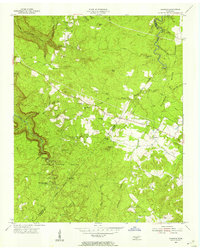
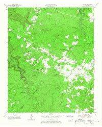
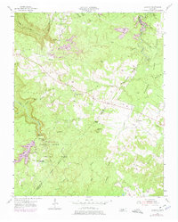
Editions of this 1954 Sampson Map
5 editions found
Historical Maps of Mooneyham Through Time
26 maps found
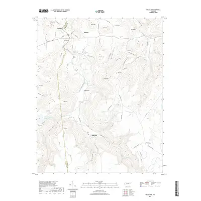
1935 Smart Mountain
Van Buren County, TN
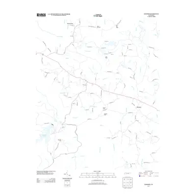
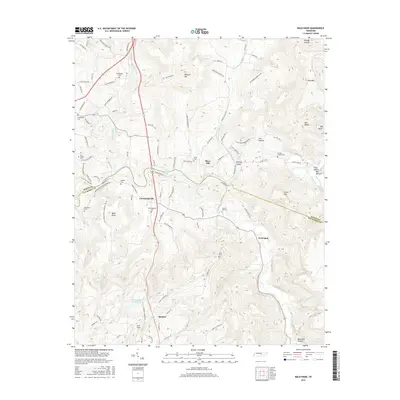
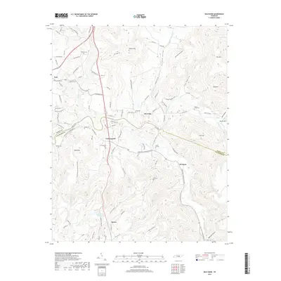
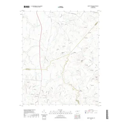
1946 Smartt Mountain
Van Buren County, TN
1947 Smartt Mountain
Van Buren County, TN
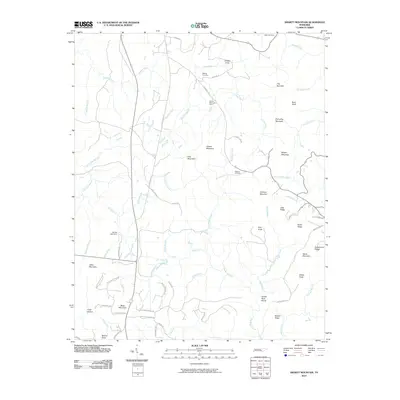
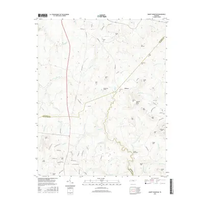
1954 Sampson
Van Buren County, TN
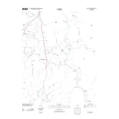
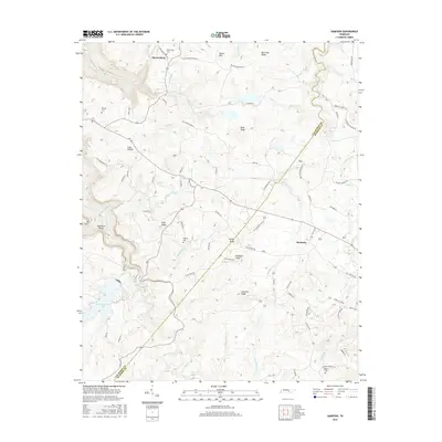
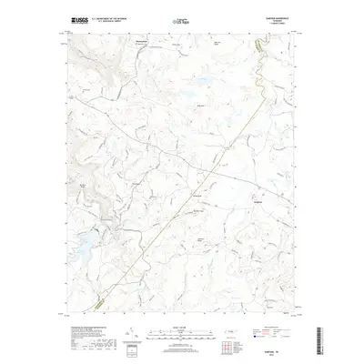
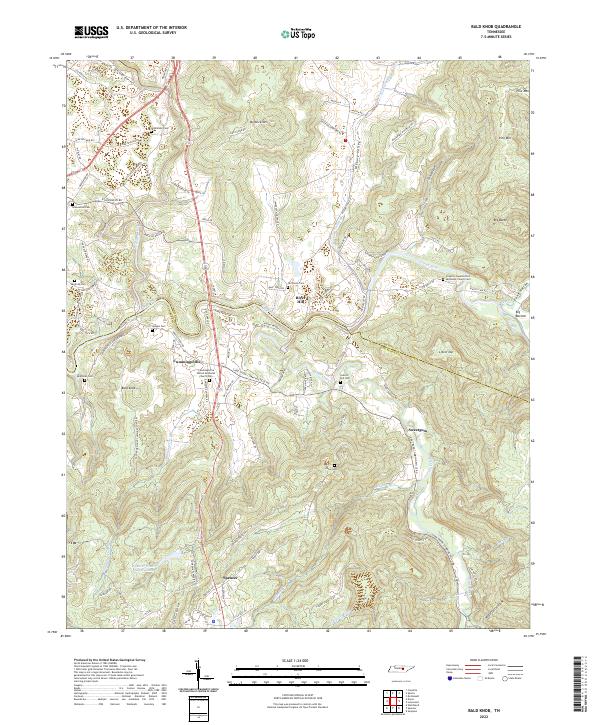
1956 Bald Knob
Van Buren County, TN
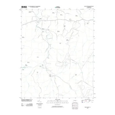
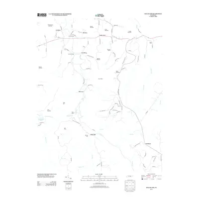
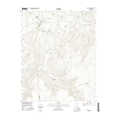
1960 Welchland
Van Buren County, TN
2010 Bald Knob
Van Buren County, TN
2010 Sampson
Van Buren County, TN
2010 Smartt Mountain
Van Buren County, TN
2010 Welchland
Van Buren County, TN
2013 Bald Knob
Van Buren County, TN
2013 Sampson
Van Buren County, TN
2013 Smartt Mountain
Van Buren County, TN
2013 Welchland
Van Buren County, TN
2016 Bald Knob
Van Buren County, TN
2016 Sampson
Van Buren County, TN
2016 Smartt Mountain
Van Buren County, TN
2016 Welchland
Van Buren County, TN
2019 Bald Knob
Van Buren County, TN
2019 Sampson
Van Buren County, TN
2019 Smartt Mountain
Van Buren County, TN
2019 Welchland
Van Buren County, TN
2022 Bald Knob
Van Buren County, TN
2022 Sampson
Van Buren County, TN
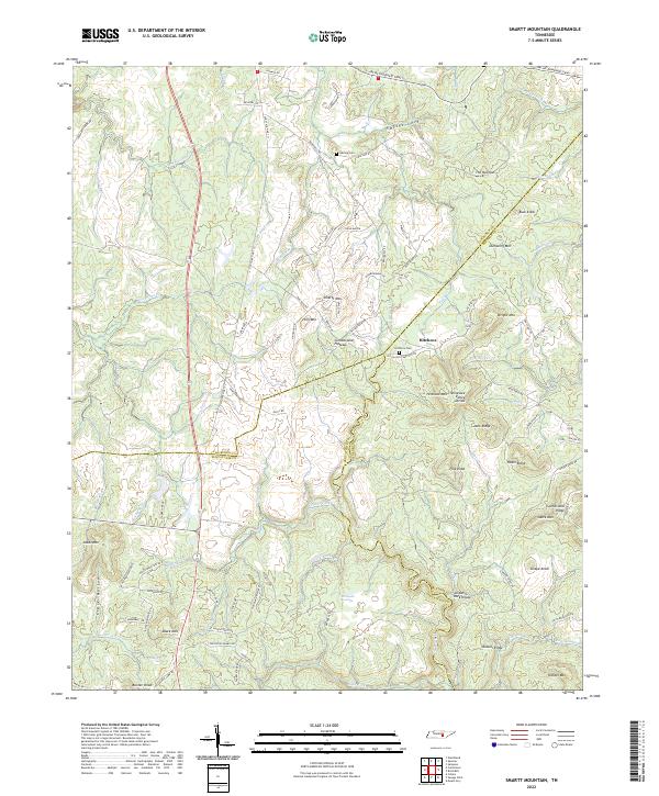
2022 Smartt Mountain
Van Buren County, TN
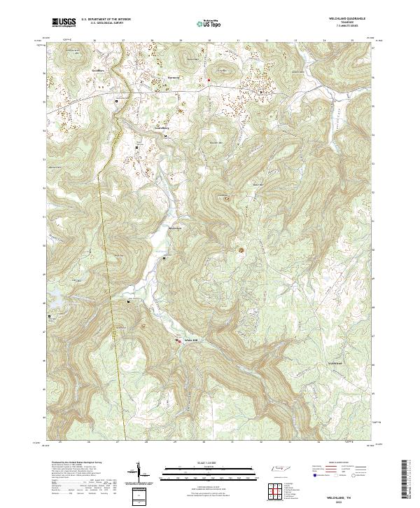
2022 Welchland
Van Buren County, TN