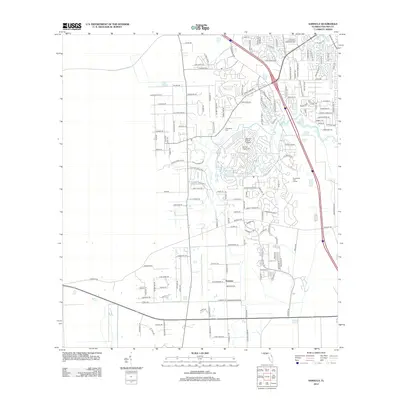
2012 Map of Samsula
USGS Topo · Published 2012About this map
The settlement of Samsula serves as a primary reference point in this Volusia County landscape, where the meandering course of Spruce Cr defines the local topography. This 2012 survey reveals a complex interface between agricultural roots and modern residential expansion. The presence of the Spruce Creek Airport and its associated fly-in community development indicates the area's specialized evolution in the early 21st century.
Find a feature on this map
144 named features on this map. Tap any name to fly to it.
Don’t see what you’re looking for? This feature index may not catch every label — zoom into the map to look around manually.
Map Details
Editions of this 2012 Samsula Map
This is the sole edition of this map. No revisions or reprints were ever made.
Other maps of this area

1937 · Port Orange
USGS Topo · 1:48,000

1943 · Port Orange
USGS Topo · 1:62,500

1944 · Port Orange
USGS Topo · 1:62,500

1950 · Edgewater
USGS Topo · 1:24,000

1952 · Samsula
USGS Topo · 1:24,000

1952 · Daytona Beach
USGS Topo · 1:24,000

1954 · Daytona Beach
USGS Topo · 1:250,000

1955 · Orlando
USGS Topo · 1:250,000

1956 · Port Orange
USGS Topo · 1:24,000

1956 · New Smyrna Beach
USGS Topo · 1:24,000