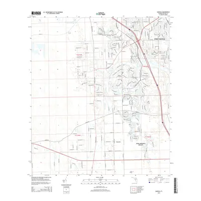
2015 Map of Samsula
USGS Topo · Published 2015About this map
The unincorporated community of Samsula serves as the focal point for this Volusia County landscape, defined by its agricultural roots and systematic drainage. The Samsula Canal and various irrigation channels reflect a history of land management for farming, evidenced by local road names such as Watermelon Ln, Lettuce Ln, and Strawberry Ln. These namesake thoroughfares highlight the region's vegetable-growing heritage south of the more suburbanized margins of Port Orange.
Find a feature on this map
67 named features on this map. Tap any name to fly to it.
Don’t see what you’re looking for? This feature index may not catch every label — zoom into the map to look around manually.
Map Details
Editions of this 2015 Samsula Map
This is the sole edition of this map. No revisions or reprints were ever made.
Other maps of this area

1937 · Port Orange
USGS Topo · 1:48,000

1943 · Port Orange
USGS Topo · 1:62,500

1944 · Port Orange
USGS Topo · 1:62,500

1950 · Edgewater
USGS Topo · 1:24,000

1952 · Samsula
USGS Topo · 1:24,000

1952 · Daytona Beach
USGS Topo · 1:24,000

1954 · Daytona Beach
USGS Topo · 1:250,000

1955 · Orlando
USGS Topo · 1:250,000

1956 · Port Orange
USGS Topo · 1:24,000

1956 · New Smyrna Beach
USGS Topo · 1:24,000