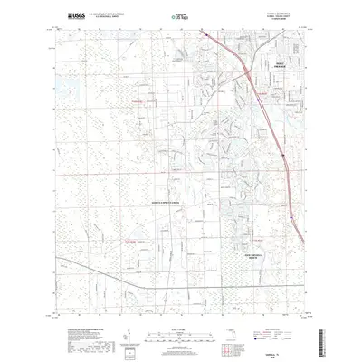
2018 Map of Samsula
USGS Topo · Published 2018About this map
The unincorporated community of Samsula and the census-designated place of Samsula-Spruce Creek define this Volusia County landscape, where agriculture and residential flight paths converge. The area is marked by a network of drainage and transport, with the Samsula Canal cutting through the interior and the winding Spruce Creek flowing toward the coast. A distinctive local landmark is the Spruce Creek Airport, surrounded by a specialized residential taxiway system.
Find a feature on this map
56 named features on this map. Tap any name to fly to it.
Don’t see what you’re looking for? This feature index may not catch every label — zoom into the map to look around manually.
Map Details
Editions of this 2018 Samsula Map
This is the sole edition of this map. No revisions or reprints were ever made.
Other maps of this area

1937 · Port Orange
USGS Topo · 1:48,000

1943 · Port Orange
USGS Topo · 1:62,500

1944 · Port Orange
USGS Topo · 1:62,500

1950 · Edgewater
USGS Topo · 1:24,000

1952 · Samsula
USGS Topo · 1:24,000

1952 · Daytona Beach
USGS Topo · 1:24,000

1954 · Daytona Beach
USGS Topo · 1:250,000

1955 · Orlando
USGS Topo · 1:250,000

1956 · Port Orange
USGS Topo · 1:24,000

1956 · New Smyrna Beach
USGS Topo · 1:24,000