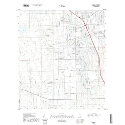
2021 Map of Samsula
USGS Topo · Published 2021About this map
Samsula-Spruce Creek and the southern reaches of Port Orange define this area of Volusia County, where residential growth meets the intricate wetlands of the Florida coast. The map highlights a landscape structured by water, with the Samsula Canal cutting through the interior while Spruce Creek winds toward the Atlantic, its banks protected by the Doris Leeper Spruce Creek Preserve Trl. Local heritage is anchored by sites like Friendship Cem and Spruce Creek Cem, located near the historic community of Samsula. This 2021 survey illustrates the modern road network extending from New Smyrna Beach, showing how developments like Yorktowne Blvd and Stewart Ave have integrated into the marshes and hammocks near Akins Bay.
Find a feature on this map
194 named features on this map. Tap any name to fly to it.
Don’t see what you’re looking for? This feature index may not catch every label — zoom into the map to look around manually.
Map Details
Editions of this 2021 Samsula Map
This is the sole edition of this map. No revisions or reprints were ever made.
Other maps of this area

1937 · Port Orange
USGS Topo · 1:48,000

1943 · Port Orange
USGS Topo · 1:62,500

1944 · Port Orange
USGS Topo · 1:62,500

1950 · Edgewater
USGS Topo · 1:24,000

1952 · Samsula
USGS Topo · 1:24,000

1952 · Daytona Beach
USGS Topo · 1:24,000

1954 · Daytona Beach
USGS Topo · 1:250,000

1955 · Orlando
USGS Topo · 1:250,000

1956 · Port Orange
USGS Topo · 1:24,000

1956 · New Smyrna Beach
USGS Topo · 1:24,000