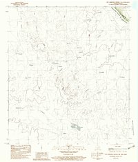
1983 Map of San Ambrosia Creek 3 NE
USGS Topo · Published 1983About this map
The Rio Grande Rio Bravo Coahuila serves as the focal point for this international border region in Maverick County, where the rugged topography of South Texas meets northern Mexico. Small settlements and ranching outposts like Carmelo, Las Viboras, and Buenavista are scattered throughout the landscape, connected by a network of unimproved roads and trails. The terrain is marked by significant drainages such as Tio Bruno and Providencia, which carve through the arid geography towards the river.
Find a feature on this map
30 named features on this map. Tap any name to fly to it.
Don’t see what you’re looking for? This feature index may not catch every label — zoom into the map to look around manually.
Map Details
Editions of this 1983 San Ambrosia Creek 3 NE Map
2 editions found
Other maps of this area

1940 · Chupadera
USGS Topo · 1:62,500

1941 · Botella Creek
USGS Topo · 1:62,500

1957 · Indio Creek
USGS Topo · 1:62,500

1957 · Botella Creek
USGS Topo · 1:62,500

1958 · Eagle Pass
USGS Topo · 1:250,000

1965 · Eagle Pass
USGS Topo · 1:250,000
1982 · Tovar Creek East
USGS Topo · 1:24,000
1983 · Tovar Creek West
USGS Topo · 1:24,000
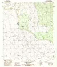
1983 · Salt Well
USGS Topo · 1:24,000
1985 · San Ambrosia Creek
USGS Topo · 1:100,000