
Loading...
Loading map...1954 Map of San Antonio
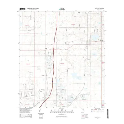
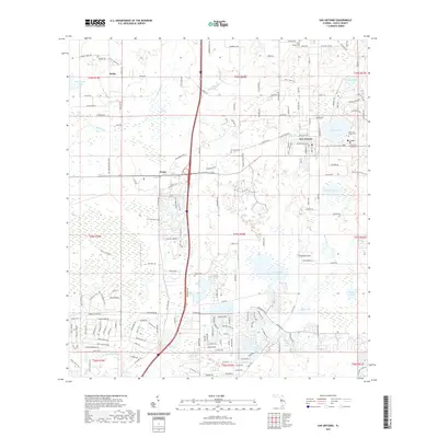
USGS Topo · Published 1988About this map
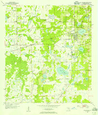
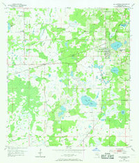
San Antonio and the neighboring community of St Leo form the cultural heart of this mid-century Florida landscape. Originally surveyed in 1954 and updated with aerial data in 1988, the map illustrates the area's transition as citrus groves and open prairies began to meet suburban expansion. Local religious and community centers are well-represented by several churches and burial grounds, including Amelia Ch, Alliance Ch, and the St Joseph Cem.
Find a feature on this map
23 named features on this map. Tap any name to fly to it.
Don’t see what you’re looking for? This feature index may not catch every label — zoom into the map to look around manually.
Map Details
Date Portrayed1954
Date Published1988
PublisherU.S. Geological Survey
Map TypeTopographic
Scale1:24,000
Physical Dimensions21.98 x 27.06 inches
Editions of this 1954 San Antonio Map
4 editions found

Historical Maps of Saint Leo Through Time
6 maps found


Featured Locations
Source Details
SourceU.S. Geological Survey
CopyrightPublic Domain