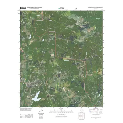
2013 Map of San Augustine East
USGS Topo · Published 2013About this map
San Augustine serves as the focal point of this East Texas survey, where a complex grid of streets like W Columbia St and S Liberty St meets the natural drainage of Ayish Bayou. The landscape is characterized by a high density of family and community burial grounds, including the Sublett Cem, Cartwright Cem, and Brooks Cem, which offer significant value for genealogical research in this portion of San Augustine County.
Find a feature on this map
79 named features on this map. Tap any name to fly to it.
Don’t see what you’re looking for? This feature index may not catch every label — zoom into the map to look around manually.
Map Details
Editions of this 2013 San Augustine East Map
This is the sole edition of this map. No revisions or reprints were ever made.
Other maps of this area
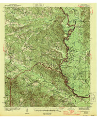
1944 · Patroon
USGS Topo · 1:62,500

1953 · Alexandria
USGS Topo · 1:250,000

1953 · Palestine
USGS Topo · 1:250,000

1955 · Alexandria
USGS Topo · 1:250,000
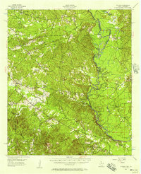
1956 · Patroon
USGS Topo · 1:62,500

1957 · Palestine
USGS Topo · 1:250,000
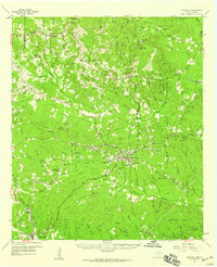
1958 · Hemphill
USGS Topo · 1:62,500
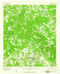
1958 · San Augustine
USGS Topo · 1:62,500
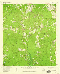
1958 · Bronson
USGS Topo · 1:62,500
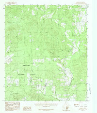
1984 · Norwood
USGS Topo · 1:24,000